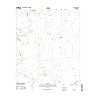
2016 Map of Sunny Side
USGS Topo · Published 2016About this map
The Brazos River forms a winding western boundary between Waller and Austin counties, carving deep oxbows and landmarks like Wildcat Bend. This rural landscape is anchored by the small settlements of Sunny Side and Monaville, surrounded by a grid of farm-to-market roads and family-named routes such as Stefka Rd and Richard Frey Rd. For genealogists, the map is particularly detailed, identifying seven distinct burial grounds including Saint Thomas Cem, Harper Cem, and President Cem. The interior is crisscrossed by several waterways, including Irons Cr and Mulberry Cr, which feed into local basins like Cunny Lake and Hannay Lake. Small-scale aviation is also a notable feature of the area, with Pea Patch Airport, Fair Weather Field, and Mikeska Field scattered across the countryside.
Find a feature on this map
64 named features on this map. Tap any name to fly to it.
Don’t see what you’re looking for? This feature index may not catch every label — zoom into the map to look around manually.
Map Details
Editions of this 2016 Sunny Side Map
This is the sole edition of this map. No revisions or reprints were ever made.
Other maps of this area

1920 · Waller
USGS Topo · 1:31,680

1950 · Houston
USGS Topo · 1:250,000

1953 · Seguin
USGS Topo · 1:250,000

1954 · Beaumont
USGS Topo · 1:250,000

1954 · Austin
USGS Topo · 1:250,000

1955 · Brookshire
USGS Topo · 1:62,500

1956 · Sealy
USGS Topo · 1:62,500

1956 · Hempstead
USGS Topo · 1:62,500

1956 · Houston
USGS Topo · 1:250,000

1957 · Beaumont
USGS Topo · 1:250,000