
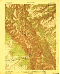
1915 Map of Sunnyside
USGS Topo · Published 1915About this map
Sunnyside serves as the focal point of this industrial landscape, situated at the confluence of canyon drainages where coal mining and transportation converge. The Denver and Rio Grande Western railroad provides the vital link between the mountainous terrain and the valley below, tracing a route through the lower elevations near Pierson Ranch. This early twentieth-century survey captures the region's development during a period of significant expansion, as evidenced by infrastructure like the Pumping Station and the Pipe Line reaching into the high country.
Find a feature on this map
30 named features on this map. Tap any name to fly to it.
Don’t see what you’re looking for? This feature index may not catch every label — zoom into the map to look around manually.
Map Details
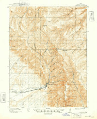
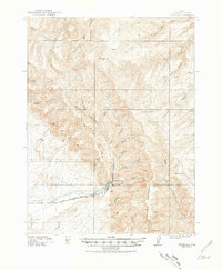
Editions of this 1915 Sunnyside Map
4 editions found
Other maps of this area

1886 · Price River
USGS Topo · 1:250,000

1896 · Price River
USGS Topo · 1:250,000

1915 · Wellington
USGS Topo · 1:62,500

1948 · Woodside
USGS Topo · 1:62,500

1949 · Woodside
USGS Topo · 1:62,500

1950 · Woodside
USGS Topo · 1:62,500

1954 · Flat Canyon
USGS Topo · 1:62,500

1954 · Range Creek
USGS Topo · 1:62,500

1956 · Price
USGS Topo · 1:250,000

1960 · Price
USGS Topo · 1:250,000
Featured Places
- Bruin Point, UT
- Sunnydale, East Carbon
- Columbia Junction, East Carbon
- Upper Sunnyside, UT
- East Carbon, UT