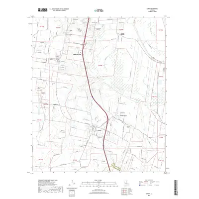
2018 Map of Sunset
USGS Topo · Published 2018About this map
The town of Sunset and neighboring Grand Coteau anchor this 2018 survey of St. Landry Parish, where the Acadiana landscape meets a complex network of bayous and modern transit corridors. The southern edge of Opelousas appears at the top of the sheet, connected to the southern settlements by the prominent path of Interstate 49. Historically significant sites are clustered throughout, including the Saint Charles Borromeo Cem and the Montgomery - Wilkins Cem, which provide points of interest for genealogists and local historians.
Find a feature on this map
139 named features on this map. Tap any name to fly to it.
Don’t see what you’re looking for? This feature index may not catch every label — zoom into the map to look around manually.
Map Details
Editions of this 2018 Sunset Map
This is the sole edition of this map. No revisions or reprints were ever made.
Other maps of this area

1939 · Opelousas
USGS Topo · 1:62,500

1940 · Arnaudville
USGS Topo · 1:62,500

1952 · Lake Charles
USGS Topo · 1:250,000

1954 · Lake Charles
USGS Topo · 1:250,000

1954 · Baton Rouge
USGS Topo · 1:250,000

1956 · Opelousas
USGS Topo · 1:62,500

1956 · Baton Rouge
USGS Topo · 1:250,000

1957 · Opelousas
USGS Topo · 1:62,500

1957 · Carencro
USGS Topo · 1:62,500

1959 · Palmetto
USGS Topo · 1:62,500