
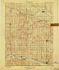
1898 Map of Superior
USGS Topo · Published 1898About this map
Superior and Nelson anchor this late-nineteenth-century landscape, which is defined by a dense lattice of competing rail lines across the Nebraska-Kansas border. The Burlington and Missouri River R. R. and the Missouri Pacific R. R. carve through the terrain, connecting agricultural outposts like Fairfield and Blue Hill. The survey reveals a region in transition, where established river settlements along the Republican River and Little Blue River are complemented by inland rail towns like Lawrence and Rosemont. Local history details are prominent, including the small parish of St. Stephen and landmarks such as Spring Ranch. The drainage patterns of Beaver Creek and Willow Creek trace the natural topography of the plains, providing a backdrop to the townships of Oak Creek and Stillwater before the full modernization of the regional infrastructure.
Find a feature on this map
74 named features on this map. Tap any name to fly to it.
Don’t see what you’re looking for? This feature index may not catch every label — zoom into the map to look around manually.
Map Details
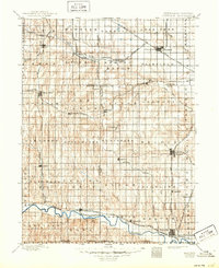
Editions of this 1898 Superior Map
3 editions found
Other maps of this area

1892 · Concordia
USGS Topo · 1:125,000

1893 · Smith Center
USGS Topo · 1:125,000

1894 · Mankato
USGS Topo · 1:125,000

1894 · Kenesaw
USGS Topo · 1:62,500

1896 · Wood River
USGS Topo · 1:125,000

1897 · Red Cloud
USGS Topo · 1:125,000

1898 · York
USGS Topo · 1:125,000

1898 · Hebron
USGS Topo · 1:125,000

1898 · Grand Island
USGS Topo · 1:125,000

1899 · York
USGS Topo · 1:125,000