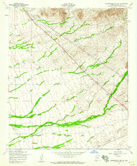
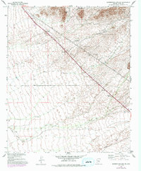
1956 Map of Superstition Mts. SW
USGS Topo · Published 1959About this map
The arid desert floor of Pinal County meets the foothills of the high desert peaks in this mid-century survey, highlighting a landscape defined by utility and wildlife management. A prominent Telephone Line and several Power Lines cut diagonally across the terrain, reflecting the infrastructure expansion of the 1950s. Near the southern edge, Queen Creek flows through the alluvial plain, while the northeastern corner rises sharply toward Dinosaur Mtn.
Find a feature on this map
10 named features on this map. Tap any name to fly to it.
Don’t see what you’re looking for? This feature index may not catch every label — zoom into the map to look around manually.
Map Details
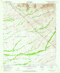
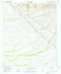
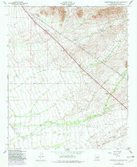
Editions of this 1956 Superstition Mts. SW Map
5 editions found
Other maps of this area

1900 · Florence
USGS Topo · 1:125,000

1902 · Florence
USGS Topo · 1:125,000

1904 · Desert Well
USGS Topo · 1:62,500

1906 · Desert Well
USGS Topo · 1:62,500

1907 · Sacaton
USGS Topo · 1:62,500

1954 · Mesa
USGS Topo · 1:250,000

1956 · Sacaton NE
USGS Topo · 1:24,000

1956 · Goldfield
USGS Topo · 1:24,000

1956 · Magma
USGS Topo · 1:24,000

1956 · Desert Well
USGS Topo · 1:24,000