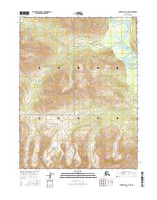
2016 Map of Survey Pass A-2 NE
USGS Topo · Published 2016About this map
Gates of the Arctic National Park encompasses nearly the entire landscape of this 2016 survey, representing a strictly protected wilderness in the central Brooks Range. The terrain is dominated by high-elevation contours and deep glacial valleys that channel drainage toward the northeast corner of the sheet. Here, the Alatna River winds through a broad, marshy basin, creating a distinct riparian corridor of wetlands and oxbows within the surrounding mountain peaks. This map serves as a detailed record of public land boundaries, specifically identifying the intersection of townships t21n r23e, t21n r24e, t20n r23e, and t20n r24e as they define the management zones of this remote Arctic interior.
Find a feature on this map
6 named features on this map. Tap any name to fly to it.
Don’t see what you’re looking for? This feature index may not catch every label — zoom into the map to look around manually.
Map Details
Editions of this 2016 Survey Pass A-2 NE Map
This is the sole edition of this map. No revisions or reprints were ever made.
Other maps of this area

1951 · Survey Pass
USGS Topo · 1:250,000

1956 · Survey Pass
USGS Topo · 1:250,000

1964 · Survey Pass
USGS Topo · 1:250,000

1966 · Survey Pass
USGS Topo · 1:250,000
1986 · Survey Pass A-1
USGS Topo · 1:63,360
1986 · Survey Pass B-2
USGS Topo · 1:63,360
1986 · Survey Pass B-1
USGS Topo · 1:63,360
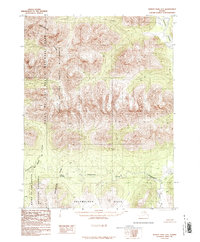
1986 · Survey Pass A-2
USGS Topo · 1:63,360
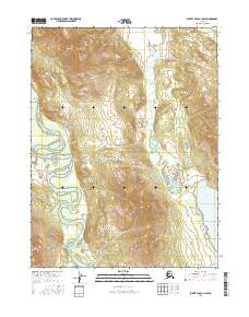
2016 · Survey Pass A-1 NW
USGS Topo · 1:25,000
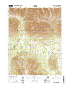
2016 · Survey Pass A-2 SW
USGS Topo · 1:25,000