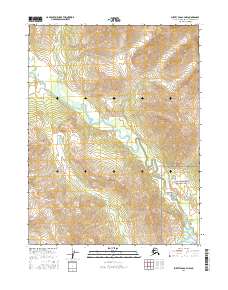
2016 Map of Survey Pass A-4 NW
USGS Topo · Published 2016About this map
Gates of the Arctic National Park encompasses the southeastern portion of this landscape, marking a protected wilderness in the Alaska-Northwest Arctic Borough. The terrain is defined by the winding course of the Reed River, which meanders through the central valleys and collects tributaries like Inyulak Cr from the surrounding high country. This 2016 survey illustrates the hydrography of the Brooks Range foothills, showing how the river systems dictate the layout of this remote region. The map provides a precise look at the township and range divisions, including t21n r18e and t20n r18e, offering a detailed record of land management boundaries within one of the nation's most isolated national park units.
Find a feature on this map
8 named features on this map. Tap any name to fly to it.
Don’t see what you’re looking for? This feature index may not catch every label — zoom into the map to look around manually.
Map Details
Editions of this 2016 Survey Pass A-4 NW Map
This is the sole edition of this map. No revisions or reprints were ever made.
Other maps of this area

1951 · Survey Pass
USGS Topo · 1:250,000

1956 · Survey Pass
USGS Topo · 1:250,000

1964 · Survey Pass
USGS Topo · 1:250,000

1966 · Survey Pass
USGS Topo · 1:250,000
1986 · Survey Pass A-5
USGS Topo · 1:63,360
1986 · Survey Pass A-4
USGS Topo · 1:63,360
1990 · Survey Pass B-5
USGS Topo · 1:63,360
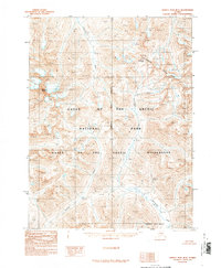
1990 · Survey Pass B-4
USGS Topo · 1:63,360
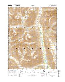
2016 · Survey Pass B-5 SE
USGS Topo · 1:25,000
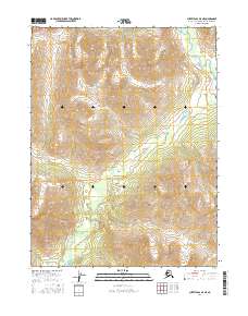
2016 · Survey Pass A-5 NE
USGS Topo · 1:25,000