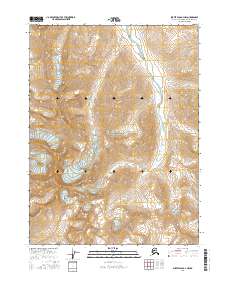
2016 Map of Survey Pass B-4 NW
USGS Topo · Published 2016About this map
Noatak River carves a path through the Brooks Range in this 2016 survey of the Northwest Arctic. This portion of the Gates of the Arctic National Park is defined by its dramatic topographic relief and subarctic watersheds. Dominating the western section of the map, the peak of Mt Igikpak stands as a significant landmark for navigators and wilderness explorers alike. The drainage systems of Inyuilak Cr and Kaluluktok Cr feed into the primary river corridor, illustrating the complex hydrological network of the Alaskan interior. The map documents the legal township and range divisions across this protected wilderness, providing a resource for studying the geographic layout of the region. Researchers can trace the sharp elevation changes and the specific contours of these central Brooks Range peaks.
Find a feature on this map
11 named features on this map. Tap any name to fly to it.
Don’t see what you’re looking for? This feature index may not catch every label — zoom into the map to look around manually.
Map Details
Editions of this 2016 Survey Pass B-4 NW Map
This is the sole edition of this map. No revisions or reprints were ever made.
Other maps of this area

1951 · Survey Pass
USGS Topo · 1:250,000

1956 · Survey Pass
USGS Topo · 1:250,000

1964 · Survey Pass
USGS Topo · 1:250,000

1966 · Survey Pass
USGS Topo · 1:250,000
1986 · Survey Pass C-4
USGS Topo · 1:63,360
1990 · Survey Pass B-5
USGS Topo · 1:63,360
1990 · Survey Pass B-4
USGS Topo · 1:63,360
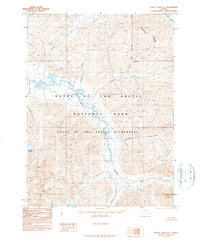
1990 · Survey Pass C-5
USGS Topo · 1:63,360
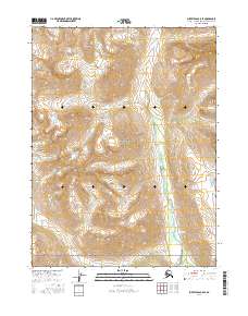
2016 · Survey Pass B-5 SE
USGS Topo · 1:25,000
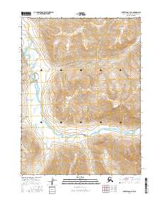
2016 · Survey Pass C-5 SE
USGS Topo · 1:25,000