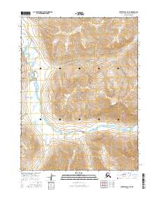
2016 Map of Survey Pass C-5 SE
USGS Topo · Published 2016About this map
Gates of the Arctic National Park encompasses this wilderness region in the Northwest Arctic, where the wide valley of the Noatak River serves as the central geographical corridor. The river meanders across the southern half of the sheet, joined by several significant tributaries including Twelvemile Cr, Iyahuna Creek, and Angayukak Cr. These waterways represent the primary navigational routes and lifeblood for the area, dictating the movement of people and wildlife through the Brooks Range. In the northern reaches, Angiaak Pass provides a transition point between high ridges, while smaller drainages like Tupik Cr feed into the main river system from the south. The absence of permanent roads or settlements reflects the managed wilderness character of the park and the enduring isolation of the Alaskan Arctic interior.
Find a feature on this map
13 named features on this map. Tap any name to fly to it.
Don’t see what you’re looking for? This feature index may not catch every label — zoom into the map to look around manually.
Map Details
Editions of this 2016 Survey Pass C-5 SE Map
This is the sole edition of this map. No revisions or reprints were ever made.
Other maps of this area

1951 · Survey Pass
USGS Topo · 1:250,000

1956 · Survey Pass
USGS Topo · 1:250,000

1964 · Survey Pass
USGS Topo · 1:250,000

1966 · Survey Pass
USGS Topo · 1:250,000
1986 · Survey Pass C-4
USGS Topo · 1:63,360
1990 · Survey Pass B-5
USGS Topo · 1:63,360
1990 · Survey Pass B-4
USGS Topo · 1:63,360
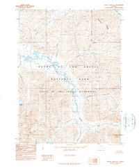
1990 · Survey Pass C-5
USGS Topo · 1:63,360
2016 · Survey Pass B-5 NW
USGS Topo · 1:25,000
2016 · Survey Pass B-5 NE
USGS Topo · 1:25,000