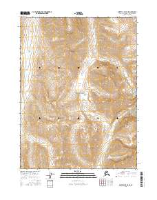
2016 Map of Survey Pass B-5 NE
USGS Topo · Published 2016About this map
Gates of the Arctic National Park encompasses the heart of this high-latitude survey, defining a landscape of dramatic elevation and drainage patterns in the Brooks Range. The central terrain is anchored by Angiaak Pass, a significant geographic corridor between the southern and northern drainages of the central Arctic. This transition is marked by the headwaters and upper reaches of several vital waterways, including the southward-flowing Reed River and the meandering Angayuk Creek. Mapping of this remote area reveals the complex topography of the Alaska-Northwest Arctic Borough, where steep ridgelines give way to glacial valleys. To the east, Tupik Cr cuts through the township of t24n r17e, illustrating the stark and unpopulated character of this subarctic wilderness in the early 21st century.
Find a feature on this map
9 named features on this map. Tap any name to fly to it.
Don’t see what you’re looking for? This feature index may not catch every label — zoom into the map to look around manually.
Map Details
Editions of this 2016 Survey Pass B-5 NE Map
This is the sole edition of this map. No revisions or reprints were ever made.
Other maps of this area

1951 · Survey Pass
USGS Topo · 1:250,000

1956 · Survey Pass
USGS Topo · 1:250,000

1964 · Survey Pass
USGS Topo · 1:250,000

1966 · Survey Pass
USGS Topo · 1:250,000
1986 · Survey Pass C-4
USGS Topo · 1:63,360
1990 · Survey Pass B-5
USGS Topo · 1:63,360
1990 · Survey Pass B-4
USGS Topo · 1:63,360
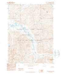
1990 · Survey Pass C-5
USGS Topo · 1:63,360
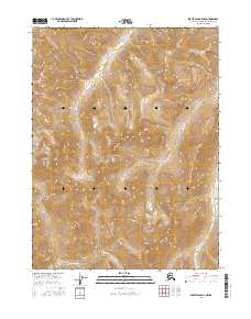
2016 · Survey Pass B-5 NW
USGS Topo · 1:25,000
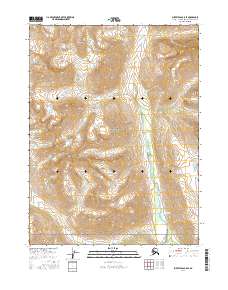
2016 · Survey Pass B-5 SE
USGS Topo · 1:25,000