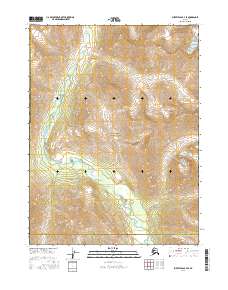
2016 Map of Survey Pass B-4 SE
USGS Topo · Published 2016About this map
Gates of the Arctic National Park dominates this high-latitude terrain, where the northern reaches of the Schwatka Mountains define the landscape. This 2016 survey documents a roadless wilderness at the boundary of the Yukon-Koyukuk Census Area and the Northwest Arctic Borough. The drainage of Kaluluktok Creek provides the primary topographic orientation, winding through steep elevation changes that characterize this subarctic interior. The map reveals a region entirely devoid of permanent human settlements or infrastructure, emphasizing the protected status of the national park. Researchers will find a precise depiction of land divisions, including t22n r19e, which illustrate the Public Land Survey System's application across the remote Alaskan frontier.
Find a feature on this map
13 named features on this map. Tap any name to fly to it.
Don’t see what you’re looking for? This feature index may not catch every label — zoom into the map to look around manually.
Map Details
Editions of this 2016 Survey Pass B-4 SE Map
This is the sole edition of this map. No revisions or reprints were ever made.
Other maps of this area

1951 · Survey Pass
USGS Topo · 1:250,000

1956 · Survey Pass
USGS Topo · 1:250,000

1964 · Survey Pass
USGS Topo · 1:250,000

1966 · Survey Pass
USGS Topo · 1:250,000
1986 · Survey Pass A-4
USGS Topo · 1:63,360
1986 · Survey Pass A-3
USGS Topo · 1:63,360
1990 · Survey Pass B-4
USGS Topo · 1:63,360
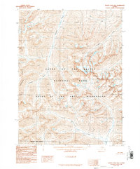
1990 · Survey Pass B-3
USGS Topo · 1:63,360
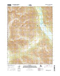
2016 · Survey Pass A-4 NE
USGS Topo · 1:25,000
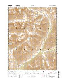
2016 · Survey Pass B-4 SW
USGS Topo · 1:25,000