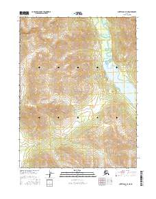
2016 Map of Survey Pass A-4 NE
USGS Topo · Published 2016About this map
Gates of the Arctic National Park encompasses the majority of this wilderness expanse in northern Alaska, where the landscape is defined by the headwaters and high-elevation basins of the Brooks Range. The eastern portion of the map is dominated by the northern reaches of Walker Lake, a significant glacial water body that serves as a primary geographical anchor for this remote interior region. Flowing into the lake from the north, Kaluluktok Creek cuts through the high-relief terrain, illustrating the dramatic drainage patterns characteristic of the Arctic Divide. This 2016 survey documents the preserved natural state of these federally protected lands, highlighting the complex topographical contours and the intersections of several townships, including t21n r19e and t21n r20e, which delineate the surveyed wilderness boundaries far from any established road networks.
Find a feature on this map
8 named features on this map. Tap any name to fly to it.
Don’t see what you’re looking for? This feature index may not catch every label — zoom into the map to look around manually.
Map Details
Editions of this 2016 Survey Pass A-4 NE Map
This is the sole edition of this map. No revisions or reprints were ever made.
Other maps of this area

1951 · Survey Pass
USGS Topo · 1:250,000

1956 · Survey Pass
USGS Topo · 1:250,000

1964 · Survey Pass
USGS Topo · 1:250,000

1966 · Survey Pass
USGS Topo · 1:250,000
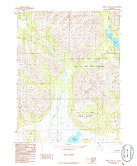
1986 · Survey Pass A-4
USGS Topo · 1:63,360
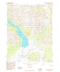
1986 · Survey Pass A-3
USGS Topo · 1:63,360
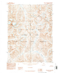
1990 · Survey Pass B-4
USGS Topo · 1:63,360
1990 · Survey Pass B-3
USGS Topo · 1:63,360
2016 · Survey Pass A-3 SW
USGS Topo · 1:25,000
2016 · Survey Pass A-4 SW
USGS Topo · 1:25,000