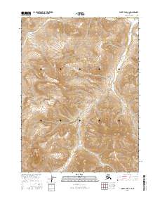
2016 Map of Survey Pass C-1 NE
USGS Topo · Published 2016About this map
Gates of the Arctic National Park encompasses the entirety of this remote interior Alaska landscape, characterized by dramatic elevation changes and a primitive drainage network. The topographic detail reflects a high-altitude wilderness where glacial carving and seasonal melt define the land. Two primary watercourses, Kevuk Cr in the northern section and Dawn Cr which meanders through the central and southern reaches, serve as the principal landmarks for this roadless territory. The survey highlights the immense scale of the Brooks Range, showing peaks and ridges that rise several thousand feet above the valley floors. This map provides a look at the pristine environment within one of the nation's most protected wilderness areas, where the absence of man-made infrastructure emphasizes the preservation of the Arctic ecosystem.
Find a feature on this map
7 named features on this map. Tap any name to fly to it.
Don’t see what you’re looking for? This feature index may not catch every label — zoom into the map to look around manually.
Map Details
Editions of this 2016 Survey Pass C-1 NE Map
This is the sole edition of this map. No revisions or reprints were ever made.
Other maps of this area

1951 · Survey Pass
USGS Topo · 1:250,000

1951 · Wiseman
USGS Topo · 1:250,000

1956 · Wiseman
USGS Topo · 1:250,000

1956 · Survey Pass
USGS Topo · 1:250,000

1964 · Survey Pass
USGS Topo · 1:250,000

1964 · Wiseman
USGS Topo · 1:250,000

1966 · Survey Pass
USGS Topo · 1:250,000
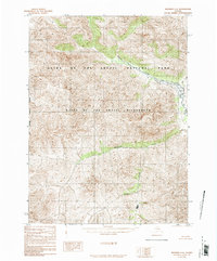
1986 · Wiseman C-6
USGS Topo · 1:63,360
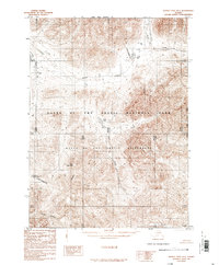
1986 · Survey Pass D-1
USGS Topo · 1:63,360
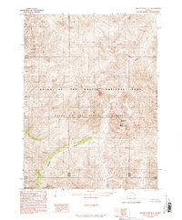
1986 · Survey Pass C-1
USGS Topo · 1:63,360