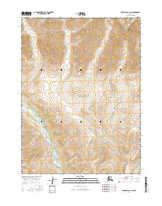
2016 Map of Survey Pass C-3 NW
USGS Topo · Published 2016About this map
Gates Of The Arctic National Park encompasses the majority of this Alaskan wilderness landscape, where the braided channels of the Alatna River flow through a valley defined by extreme elevation changes. This 2016 survey documents a remote interior region where drainage patterns are the primary landmarks. Tributaries such as Ram Cr and Ladanan Cr feed the main river system, carving through the high terrain of the Brooks Range. The map illustrates the sophisticated network of streams and seasonal runoff channels, including Begeeluk Cr, that dictate the hydrology of this protected arctic ecosystem. The absence of roads or permanent structures reflects the primitive state of the land within the park boundaries, where survey lines for Townships 26 and 27 North are the only human-imposed grid on the natural topography.
Find a feature on this map
9 named features on this map. Tap any name to fly to it.
Don’t see what you’re looking for? This feature index may not catch every label — zoom into the map to look around manually.
Map Details
Editions of this 2016 Survey Pass C-3 NW Map
This is the sole edition of this map. No revisions or reprints were ever made.
Other maps of this area

1951 · Survey Pass
USGS Topo · 1:250,000

1956 · Survey Pass
USGS Topo · 1:250,000

1964 · Survey Pass
USGS Topo · 1:250,000

1966 · Survey Pass
USGS Topo · 1:250,000
1986 · Survey Pass C-3
USGS Topo · 1:63,360
1986 · Survey Pass D-4
USGS Topo · 1:63,360
1986 · Survey Pass C-4
USGS Topo · 1:63,360
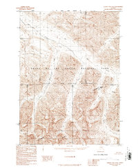
1986 · Survey Pass D-3
USGS Topo · 1:63,360
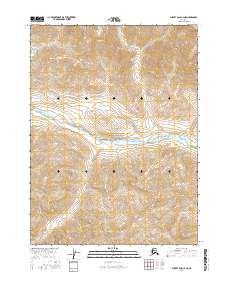
2016 · Survey Pass C-4 NE
USGS Topo · 1:25,000
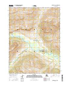
2016 · Survey Pass C-3 SE
USGS Topo · 1:25,000