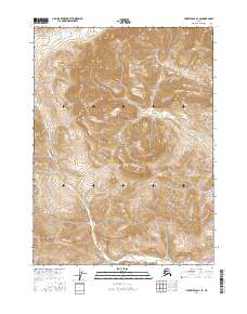
2016 Map of Survey Pass D-1 SE
USGS Topo · Published 2016About this map
Gates of the Arctic National Park encompasses nearly the entire landscape shown in this 2016 survey, a remote wilderness area within the Brooks Range of Alaska. The topographic data captures the high-elevation drainage patterns of Kevuk Cr, which appears twice as it meanders through the township boundaries of T29N, T28N, and T27N. This map provides a detailed view of the extreme relief and glacially carved valleys that characterize the central Brooks Range, with contours illustrating the steep divides between watersheds. Because this area is largely preserved within a national park, the map highlights a terrain almost entirely devoid of human infrastructure, focusing instead on the complex hydrology and physical geography of this subarctic environment.
Find a feature on this map
8 named features on this map. Tap any name to fly to it.
Don’t see what you’re looking for? This feature index may not catch every label — zoom into the map to look around manually.
Map Details
Editions of this 2016 Survey Pass D-1 SE Map
This is the sole edition of this map. No revisions or reprints were ever made.
Other maps of this area

1951 · Survey Pass
USGS Topo · 1:250,000

1951 · Wiseman
USGS Topo · 1:250,000

1956 · Wiseman
USGS Topo · 1:250,000

1956 · Survey Pass
USGS Topo · 1:250,000

1964 · Survey Pass
USGS Topo · 1:250,000

1964 · Wiseman
USGS Topo · 1:250,000

1966 · Survey Pass
USGS Topo · 1:250,000
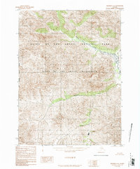
1986 · Wiseman C-6
USGS Topo · 1:63,360
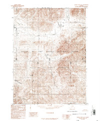
1986 · Survey Pass D-1
USGS Topo · 1:63,360
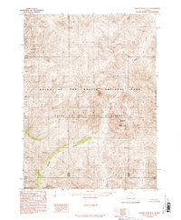
1986 · Survey Pass C-1
USGS Topo · 1:63,360