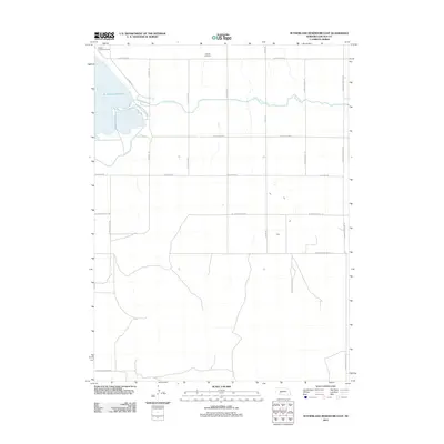
2011 Map of Sutherland Reservoir East
USGS Topo · Published 2011About this map
Sutherland Reservoir dominates the western edge of this Nebraska landscape, serving as a focal point for recreation and water management in Lincoln County. The eastern shoreline is home to Sutherland State Park, while the Oregon Trail Golf Course sits at the reservoir's northern tip, reflecting the local intersection of historical naming and modern leisure. An intricate system of water transport is evident through the Outlet Canal, which winds eastward across a grid of rural roads, including S O'fallons Rd and S Lamont Rd.
Find a feature on this map
19 named features on this map. Tap any name to fly to it.
Don’t see what you’re looking for? This feature index may not catch every label — zoom into the map to look around manually.
Map Details
Editions of this 2011 Sutherland Reservoir East Map
This is the sole edition of this map. No revisions or reprints were ever made.
Other maps of this area

1898 · Paxton
USGS Topo · 1:125,000

1899 · North Platte
USGS Topo · 1:125,000

1901 · Paxton
USGS Topo · 1:125,000

1902 · North Platte
USGS Topo · 1:125,000

1954 · McCook
USGS Topo · 1:250,000

1954 · North Platte
USGS Topo · 1:250,000

1956 · North Platte
USGS Topo · 1:250,000

1957 · North Platte
USGS Topo · 1:250,000

1957 · McCook
USGS Topo · 1:250,000

1958 · McCook
USGS Topo · 1:250,000