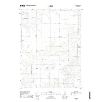
2018 Map of Sutter
USGS Topo · Published 2018About this map
Elderville and Sutter anchor this 2018 survey of rural Hancock County, characterized by a persistent grid of county roads that navigate the intricate drainage basins of the Mississippi River watershed. The landscape is defined by the carved paths of Little Bear Cr and Crystal Glen Cr, which dictate the placement of farms and small settlements. A notable density of religious and commemorative sites speaks to the deep-rooted community history of the area. Genealogists will find a significant concentration of burial grounds, including the Wythe Presbyterian Cem, Bethlehem Church of Christ Cem, and the Salem Church-Sutter Cem. These locations, often situated near minor crossroads like E Co RD 900 or Co HWY 24, mark the enduring presence of early families such as those at Walker Cem or McGee Cem. The map illustrates the careful balance between the rigid Section-Township-Range system and the winding natural topography of Rocky Run and Railroad Cr.
Find a feature on this map
56 named features on this map. Tap any name to fly to it.
Don’t see what you’re looking for? This feature index may not catch every label — zoom into the map to look around manually.
Map Details
Editions of this 2018 Sutter Map
This is the sole edition of this map. No revisions or reprints were ever made.
Other maps of this area

1933 · Carthage
USGS Topo · 1:62,500

1936 · Keokuk
USGS Topo · 1:62,500

1937 · Carthage
USGS Topo · 1:62,500

1946 · Mendon
USGS Topo · 1:62,500

1948 · Mendon
USGS Topo · 1:62,500

1948 · Camp Point
USGS Topo · 1:62,500

1950 · Keokuk
USGS Topo · 1:62,500

1958 · Burlington
USGS Topo · 1:250,000

1961 · Burlington
USGS Topo · 1:250,000

1963 · Burlington
USGS Topo · 1:250,000