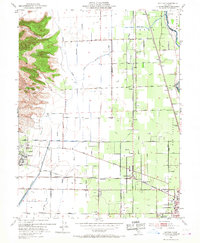
1952 Map of Sutter
USGS Topo · Published 1967About this map
The dramatic eastern slopes of the Sutter Buttes dominate the western horizon of this agricultural landscape, where the flat valley floor is etched with an intricate network of irrigation and drainage infrastructure. This mid-century environment is defined by the Sutter Butte Canal and the West Interception Canal, supporting the intensive cultivation that surrounds the central settlement of Sutter. To the east, the Feather River forms the natural boundary with Yuba City, while the historic New Helvetia Bdy line marks the legacy of early land grants in the region.
Find a feature on this map
59 named features on this map. Tap any name to fly to it.
Don’t see what you’re looking for? This feature index may not catch every label — zoom into the map to look around manually.
Map Details
Editions of this 1952 Sutter Map
4 editions found
Other maps of this area

1888 · Marysville
USGS Topo · 1:125,000

1891 · Marysville
USGS Topo · 1:125,000

1894 · Marysville
USGS Topo · 1:125,000

1895 · Marysville
USGS Topo · 1:125,000

1911 · Sutter
USGS Topo · 1:31,680
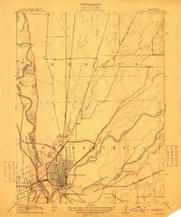
1911 · Yuba City
USGS Topo · 1:31,680

1911 · Gilsizer Slough
USGS Topo · 1:31,680
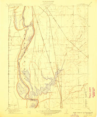
1911 · Ostrom
USGS Topo · 1:31,680

1912 · Marysville Buttes
USGS Topo · 1:31,680

1912 · Pennington
USGS Topo · 1:31,680