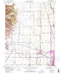
1952 Map of Sutter
USGS Topo · Published 1975About this map
Sutter Buttes dominates the northwestern horizon of this Central Valley landscape, where the dramatic volcanic rise meets the intricate irrigation and drainage networks of the valley floor. The map records a complex hydrological system of canals and sloughs, including the Sutter Butte Canal and Snake Slough, which supported the region's agricultural transition. The eastern edge is defined by the Feather River and the expanding urban footprint of Yuba City, while smaller rail-dependent settlements like Lomo and Alemandra sit along the Southern Pacific line.
Find a feature on this map
41 named features on this map. Tap any name to fly to it.
Don’t see what you’re looking for? This feature index may not catch every label — zoom into the map to look around manually.
Map Details
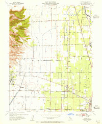
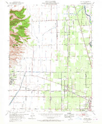
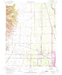
Editions of this 1952 Sutter Map
4 editions found
Other maps of this area

1888 · Marysville
USGS Topo · 1:125,000

1891 · Marysville
USGS Topo · 1:125,000

1894 · Marysville
USGS Topo · 1:125,000

1895 · Marysville
USGS Topo · 1:125,000

1911 · Sutter
USGS Topo · 1:31,680
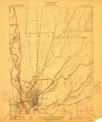
1911 · Yuba City
USGS Topo · 1:31,680

1911 · Gilsizer Slough
USGS Topo · 1:31,680
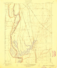
1911 · Ostrom
USGS Topo · 1:31,680

1912 · Marysville Buttes
USGS Topo · 1:31,680

1912 · Pennington
USGS Topo · 1:31,680