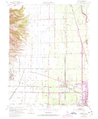
1952 Map of Sutter
USGS Topo · Published 1975About this map
The dramatic eastern slopes of the Sutter Buttes rise abruptly from the flat Sacramento Valley floor, dominating the western edge of this topographic study. Below the peaks, the landscape is defined by an intensive irrigation network, featuring the Sutter Butte Canal and various sloughs like Snake Slough and Morrison Slough. This mid-century view captures the agricultural and transit heart of the county as Yuba City begins to expand westward into the orchards and fields.
Find a feature on this map
48 named features on this map. Tap any name to fly to it.
Don’t see what you’re looking for? This feature index may not catch every label — zoom into the map to look around manually.
Map Details
Editions of this 1952 Sutter Map
4 editions found
Other maps of this area

1888 · Marysville
USGS Topo · 1:125,000

1891 · Marysville
USGS Topo · 1:125,000

1894 · Marysville
USGS Topo · 1:125,000

1895 · Marysville
USGS Topo · 1:125,000

1911 · Sutter
USGS Topo · 1:31,680
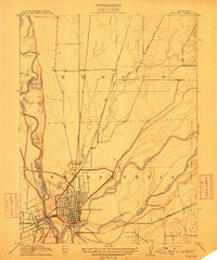
1911 · Yuba City
USGS Topo · 1:31,680

1911 · Gilsizer Slough
USGS Topo · 1:31,680
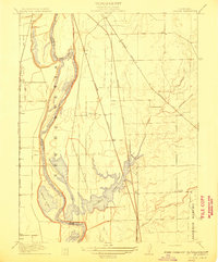
1911 · Ostrom
USGS Topo · 1:31,680

1912 · Marysville Buttes
USGS Topo · 1:31,680

1912 · Pennington
USGS Topo · 1:31,680