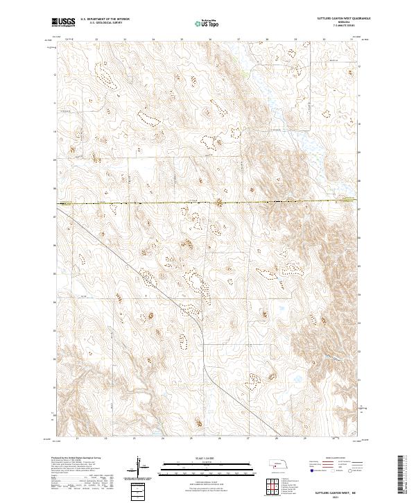
2021 Map of Suttlers Canyon West
USGS Topo · Published 2021About this map
Suttlers Canyon cuts through this landscape on the border of Lincoln and Hayes counties, defining a rugged drainage pattern in an otherwise structured agricultural grid. This 2021 survey by the U.S. Geological Survey shows a remote section of Southwest Nebraska where the topography is dominated by dramatic canyon breaks and high plains. The southwest corner is anchored by Scott Reservoir, a rare water feature in this dry upland environment.
Find a feature on this map
21 named features on this map. Tap any name to fly to it.
Don’t see what you’re looking for? This feature index may not catch every label — zoom into the map to look around manually.
Map Details
Editions of this 2021 Suttlers Canyon West Map
This is the sole edition of this map. No revisions or reprints were ever made.
Other maps of this area

1954 · McCook
USGS Topo · 1:250,000

1956 · Dickens
USGS Topo · 1:24,000

1957 · McCook
USGS Topo · 1:250,000

1958 · McCook
USGS Topo · 1:250,000

1973 · Suttlers Canyon East
USGS Topo · 1:24,000

1973 · Suttlers Canyon West
USGS Topo · 1:24,000
1973 · Melton Ranch Airport
USGS Topo · 1:24,000
1973 · Wallace
USGS Topo · 1:24,000

1973 · Hayes Center NW
USGS Topo · 1:24,000

1974 · Hayes Center
USGS Topo · 1:24,000