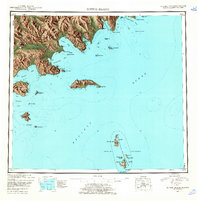
1951 Map of Sutwik Island
USGS Topo · Published 1962About this map
The Alaska Peninsula coastline meets the volatile waters of the Pacific Ocean in this mid-century reconnaissance, dominated by the drainage systems of the Aniakchak River and Meshik R. High peaks like Jaw Mtn and Pinnacle Mtn overlook a complex network of bays, including Aniakchak Bay and Kujulik Bay, where the shoreline is punctuated by dramatic landmarks like Cape Kumliun and Cape Horn.
Find a feature on this map
53 named features on this map. Tap any name to fly to it.
Don’t see what you’re looking for? This feature index may not catch every label — zoom into the map to look around manually.
Map Details
Editions of this 1951 Sutwik Island Map
4 editions found
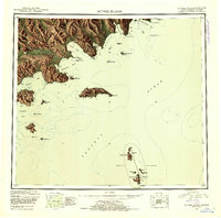
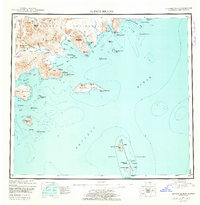
Other maps of this area

1943 · Ugashik
USGS Topo · 1:250,000

1948 · Ugashik
USGS Topo · 1:250,000

1949 · Ugashik
USGS Topo · 1:250,000

1951 · Bristol Bay
USGS Topo · 1:250,000

1951 · Trinity Islands
USGS Topo · 1:250,000

1951 · Karluk
USGS Topo · 1:250,000

1951 · Stepovak Bay
USGS Topo · 1:250,000

1951 · Sutwik Island
USGS Topo · 1:250,000

1951 · Ugashik A-2
USGS Topo · 1:63,360

1952 · Karluk
USGS Topo · 1:250,000