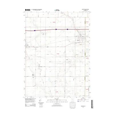
2013 Map of Swanton
USGS Topo · Published 2013About this map
Swanton and Delta anchor this portion of the northwestern Ohio landscape, where the flat agricultural terrain is defined by a rigid grid of country roads. The boundary between Fulton and Lucas Counties runs along the eastern edge of the quadrangle, passing just east of the village center. This area is notably dense with local burial grounds, including Fulton Union Cem, Saint Richards Cem, and the Centerville Cem, offering significant data for genealogical research. Smaller unincorporated communities like Brailey and Peaceful Valley are connected by a network of creeks, such as Ai Cr and Swan Cr, which break the geometric precision of the surveyed fields. The presence of the Swanton Reservoir and Fulton Pond highlights the local water management essential for these prairie settlements.
Find a feature on this map
47 named features on this map. Tap any name to fly to it.
Don’t see what you’re looking for? This feature index may not catch every label — zoom into the map to look around manually.
Map Details
Editions of this 2013 Swanton Map
This is the sole edition of this map. No revisions or reprints were ever made.
Other maps of this area

1908 · Napoleon
USGS Topo · 1:62,500

1909 · Mc Clure
USGS Topo · 1:62,500

1911 · Wauseon
USGS Topo · 1:62,500

1911 · Swanton
USGS Topo · 1:62,500

1913 · Wauseon
USGS Topo · 1:62,500

1914 · Swanton
USGS Topo · 1:62,500

1935 · Grand Rapids
USGS Topo · 1:24,000

1935 · Whitehouse
USGS Topo · 1:24,000

1935 · Berkey
USGS Topo · 1:24,000

1939 · Berkey
USGS Topo · 1:31,680