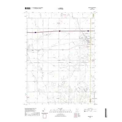
2019 Map of Swanton
USGS Topo · Published 2019About this map
Swanton and Delta serve as the primary population centers in this agricultural corridor of Fulton and Lucas Counties. The landscape is defined by an intricate network of drainage ditches and creeks, such as Beecher Ditch, Hill Ditch, and Fewless Creek, which have historically supported the region's productive farmland. The area around Swanton is particularly well-documented, featuring the Fulton County Courthouse - Eastern District and the Swanton Reservoir.
Find a feature on this map
57 named features on this map. Tap any name to fly to it.
Don’t see what you’re looking for? This feature index may not catch every label — zoom into the map to look around manually.
Map Details
Editions of this 2019 Swanton Map
This is the sole edition of this map. No revisions or reprints were ever made.
Other maps of this area

1908 · Napoleon
USGS Topo · 1:62,500

1909 · Mc Clure
USGS Topo · 1:62,500

1911 · Wauseon
USGS Topo · 1:62,500

1911 · Swanton
USGS Topo · 1:62,500

1913 · Wauseon
USGS Topo · 1:62,500

1914 · Swanton
USGS Topo · 1:62,500

1935 · Grand Rapids
USGS Topo · 1:24,000

1935 · Whitehouse
USGS Topo · 1:24,000

1935 · Berkey
USGS Topo · 1:24,000

1939 · Berkey
USGS Topo · 1:31,680