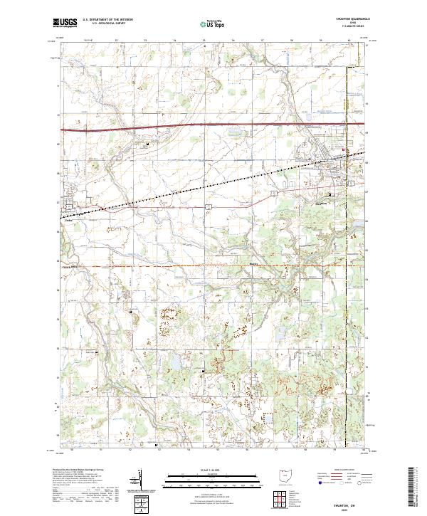
2023 Map of Swanton
USGS Topo · Published 2023About this map
The Fulton County Courthouse Eastern District serves as a civic anchor for this region of Northwest Ohio, where the village of Swanton straddles the boundary of Fulton Co and Lucas Co. The landscape is defined by an intricate network of agricultural drainage and waterways, including the winding path of Swan Creek and the southern reach of Ai Creek. To the west, the settlements of Delta and South Delta sit amidst a grid of rural roads, while the North Country National Scenic Trl cuts an east-west path through the center of the quadrangle near Brailey. Genealogists will find a high density of preserved burial grounds scattered across the townships, from the Fulton Union Cem in the north to the Shiloh Cem near the southern border. This modern survey captures the persistence of small crossroad communities like Ai and the importance of water management features such as Fewless Creek, Iron Ore Ditch, and the Swanton Reservoir.
Find a feature on this map
70 named features on this map. Tap any name to fly to it.
Don’t see what you’re looking for? This feature index may not catch every label — zoom into the map to look around manually.
Map Details
Editions of this 2023 Swanton Map
This is the sole edition of this map. No revisions or reprints were ever made.
Other maps of this area

1908 · Napoleon
USGS Topo · 1:62,500

1909 · Mc Clure
USGS Topo · 1:62,500

1911 · Wauseon
USGS Topo · 1:62,500

1911 · Swanton
USGS Topo · 1:62,500

1913 · Wauseon
USGS Topo · 1:62,500

1914 · Swanton
USGS Topo · 1:62,500

1935 · Grand Rapids
USGS Topo · 1:24,000

1935 · Whitehouse
USGS Topo · 1:24,000

1935 · Berkey
USGS Topo · 1:24,000

1939 · Berkey
USGS Topo · 1:31,680