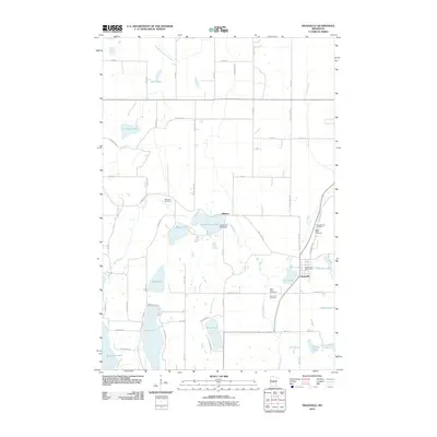
2010 Map of Swanville
USGS Topo · Published 2010About this map
Swanville and the nearby community of Pillsbury anchor this landscape of glacial lakes and prairie waterways in Central Minnesota. The Swan River and its various tributaries, including the Spring Branch Swan River, Little Swan River, and Molly Creek, create a complex network of drainage that feeds into numerous bodies of water. Significant landmarks like the Little Swan Lake Dam illustrate local water management, while larger lakes such as Big Swan Lake, Long Lake, and Wolf Lake define the terrain's character.
Find a feature on this map
61 named features on this map. Tap any name to fly to it.
Don’t see what you’re looking for? This feature index may not catch every label — zoom into the map to look around manually.
Map Details
Editions of this 2010 Swanville Map
This is the sole edition of this map. No revisions or reprints were ever made.
Other maps of this area

1947 · Flensburg
USGS Topo · 1:25,000

1948 · Cushing
USGS Topo · 1:62,500

1950 · Swanville
USGS Topo · 1:62,500

1950 · Cushing
USGS Topo · 1:62,500

1951 · Flensburg
USGS Topo · 1:25,000

1953 · Brainerd
USGS Topo · 1:250,000

1953 · Saint Cloud
USGS Topo · 1:250,000

1957 · Brainerd
USGS Topo · 1:250,000

1957 · Saint Cloud
USGS Topo · 1:250,000

1958 · Saint Cloud
USGS Topo · 1:250,000