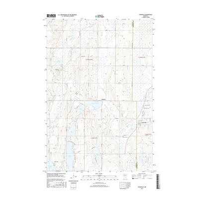
2016 Map of Swanville
USGS Topo · Published 2016About this map
Swanville and Pillsbury serve as the primary hubs in this central Minnesota landscape, where the Todd Co Morrison Co line divides a terrain defined by glacial lakes and winding waterways. The local geography is heavily influenced by the drainage of the Swan River, which connects several water bodies including Lake Pepin and the larger Big Swan Lake. The area's history is anchored by its local cemeteries, such as Bearhead Cem and Spring Brook Cem, which provide valuable location data for genealogical research.
Find a feature on this map
51 named features on this map. Tap any name to fly to it.
Don’t see what you’re looking for? This feature index may not catch every label — zoom into the map to look around manually.
Map Details
Editions of this 2016 Swanville Map
This is the sole edition of this map. No revisions or reprints were ever made.
Other maps of this area

1947 · Flensburg
USGS Topo · 1:25,000

1948 · Cushing
USGS Topo · 1:62,500

1950 · Swanville
USGS Topo · 1:62,500

1950 · Cushing
USGS Topo · 1:62,500

1951 · Flensburg
USGS Topo · 1:25,000

1953 · Brainerd
USGS Topo · 1:250,000

1953 · Saint Cloud
USGS Topo · 1:250,000

1957 · Brainerd
USGS Topo · 1:250,000

1957 · Saint Cloud
USGS Topo · 1:250,000

1958 · Saint Cloud
USGS Topo · 1:250,000