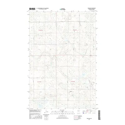
2016 Map of Swatara
USGS Topo · Published 2016About this map
Swatara serves as the primary junction for local routes in this Aitkin County landscape, situated at the intersection of Co Hwy 19 and Osprey Ave. The terrain is defined by an intricate network of waterways, with the Willow River and Moose River winding through the southern half of the quadrangle. In the north, the Little Hill River cuts through timbered tracts accessible by primitive roads like Hybird Aspen Forest Rd and Kleven Ln. Local land use is reflected in the numerous small lakes and wetlands, including Kangas Lake and the cluster of Blackwater Lake, McKinney Lake, and Little McKinney Lake to the southwest. This 2016 survey captures the rural character of the region, where residential development follows the sectional grid through roads like 610th St and 600th Ln.
Find a feature on this map
33 named features on this map. Tap any name to fly to it.
Don’t see what you’re looking for? This feature index may not catch every label — zoom into the map to look around manually.
Map Details
Editions of this 2016 Swatara Map
This is the sole edition of this map. No revisions or reprints were ever made.
Other maps of this area

1953 · Duluth
USGS Topo · 1:250,000

1954 · Hibbing
USGS Topo · 1:250,000

1957 · Hibbing
USGS Topo · 1:250,000

1958 · Hibbing
USGS Topo · 1:250,000

1958 · Duluth
USGS Topo · 1:250,000

1964 · Hibbing
USGS Topo · 1:250,000

1970 · Edna Lake
USGS Topo · 1:24,000

1970 · Big Thunder Peak
USGS Topo · 1:24,000

1970 · Shovel Lake
USGS Topo · 1:24,000
1970 · Mountain Ash Lake
USGS Topo · 1:24,000