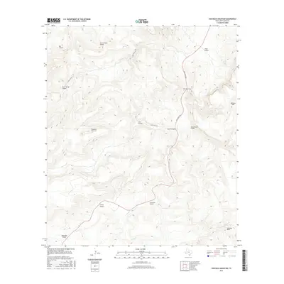
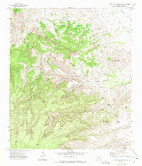
2016 Map of Swayback Mountain
USGS Topo · Published 2016About this map
Wild Rose Pass serves as a central corridor through this section of the Davis Mountains, following the winding course of Limpia Cr as it carves through the high desert terrain. The landscape is defined by numerous drainage systems, including Limpia Canyon, Grapevine Canyon, and the appropriately named Dry Canyon. High elevations are marked by distinctive landmarks such as Swayback Mountain and the broad Arkansas Mesa to the southeast. Human presence in this environment is represented by ranching infrastructure, with Powell Ranch Rd and Frazier Ranch Rd providing access to remote areas like Second Water Canyon and Frazier Canyon. The availability of water in this arid region is highlighted by Limpia Ranch Spring and the drainage of Cienega Cr, essential features for the historical ranching operations that have shaped this part of Jeff Davis County.
Find a feature on this map
20 named features on this map. Tap any name to fly to it.
Don’t see what you’re looking for? This feature index may not catch every label — zoom into the map to look around manually.
Map Details
Editions of this 2016 Swayback Mountain Map
This is the sole edition of this map. No revisions or reprints were ever made.
Other maps of this area

1894 · Fort Davis
USGS Topo · 1:125,000

1897 · Fort Davis
USGS Topo · 1:125,000

1954 · Fort Stockton
USGS Topo · 1:250,000

1958 · Fort Stockton
USGS Topo · 1:250,000

1972 · Casket Mountain
USGS Topo · 1:24,000

1972 · Swayback Mountain
USGS Topo · 1:24,000
1972 · Big Aguja Mountain
USGS Topo · 1:24,000
1972 · Fort Davis SE
USGS Topo · 1:24,000
1972 · Fort Davis
USGS Topo · 1:24,000
1972 · Little Aguja Mountain
USGS Topo · 1:24,000