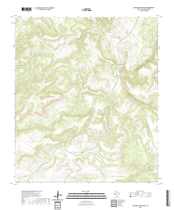
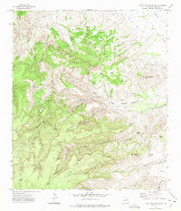
2022 Map of Swayback Mountain
USGS Topo · Published 2022About this map
Swayback Mtn rises as a central peak in this high-altitude reach of West Texas, anchoring a landscape defined by deep drainages and volcanic landforms. The region's limited water sources, such as Limpia Ranch Spring, dictate the placement of ranching infrastructure and trails through the rugged Jeff Davis County terrain. Natural corridors like Wild Rose Pass provide historical transit routes between the high peaks, while named canyons such as Frazier Canyon and Horse Spring Canyon carve through the plateau towards the Limpia Cr valley.
Find a feature on this map
20 named features on this map. Tap any name to fly to it.
Don’t see what you’re looking for? This feature index may not catch every label — zoom into the map to look around manually.
Map Details
Editions of this 2022 Swayback Mountain Map
This is the sole edition of this map. No revisions or reprints were ever made.
Other maps of this area

1894 · Fort Davis
USGS Topo · 1:125,000

1897 · Fort Davis
USGS Topo · 1:125,000

1954 · Fort Stockton
USGS Topo · 1:250,000

1958 · Fort Stockton
USGS Topo · 1:250,000

1972 · Casket Mountain
USGS Topo · 1:24,000

1972 · Swayback Mountain
USGS Topo · 1:24,000
1972 · Big Aguja Mountain
USGS Topo · 1:24,000
1972 · Fort Davis SE
USGS Topo · 1:24,000
1972 · Fort Davis
USGS Topo · 1:24,000
1972 · Little Aguja Mountain
USGS Topo · 1:24,000