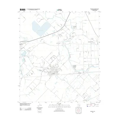
2013 Map of Sweeny
USGS Topo · Published 2013About this map
Sweeny serves as the central hub of this Brazoria County landscape, where the street grid of the town site contrasts with the industrial and agricultural patterns of the Texas coastal plain. To the northwest, the Old Ocean Oil Field and the adjacent settlement of Old Ocean mark the area's long-standing connection to the petroleum industry, evidenced by the nearby San Bernard Reservoir Number 2. The San Bernard River winds through the eastern half of the map, separating the main town from smaller communities like Wild Peach Village and the rural crossroads at El Bernardo. Low-lying water features such as Markle Lake, Flea Pond, and Cocklebur Slough illustrate the natural drainage of the region, while a dense network of county roads like Co RD 780 and Co RD 440 connects isolated farmsteads and residential clusters such as Four Corners in the south.
Find a feature on this map
142 named features on this map. Tap any name to fly to it.
Don’t see what you’re looking for? This feature index may not catch every label — zoom into the map to look around manually.
Map Details
Editions of this 2013 Sweeny Map
This is the sole edition of this map. No revisions or reprints were ever made.
Other maps of this area

1950 · Houston
USGS Topo · 1:250,000

1951 · Bay City
USGS Topo · 1:250,000

1952 · West Columbia
USGS Topo · 1:24,000

1952 · Sweeny
USGS Topo · 1:24,000

1952 · Danciger
USGS Topo · 1:24,000

1952 · Ashwood
USGS Topo · 1:24,000

1952 · Cedar Lane NE
USGS Topo · 1:24,000

1952 · East Columbia
USGS Topo · 1:24,000

1952 · Bay City NE
USGS Topo · 1:24,000

1952 · Brazoria
USGS Topo · 1:24,000