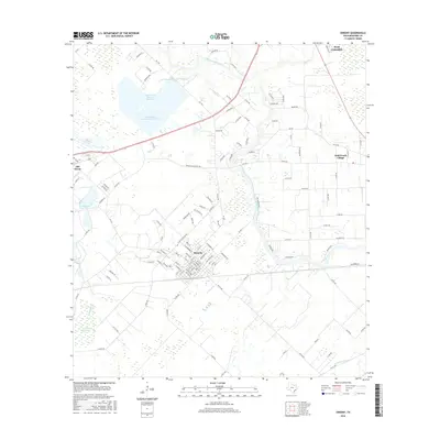
2016 Map of Sweeny
USGS Topo · Published 2016About this map
The San Bernard River meanders through the heart of this Brazoria County landscape, defining the boundary between the established settlement of Sweeny and the surrounding rural infrastructure. To the northwest, a series of large industrial water bodies, including San Bernard Reservoir Number 1, San Bernard Reservoir Number 2, and San Bernard Reservoir Number 3, indicate the area's intensive water management and industrial footprint. The town of Old Ocean sits adjacent to these reservoirs, while Wild Peach Village and the edge of West Columbia are visible to the east.
Find a feature on this map
134 named features on this map. Tap any name to fly to it.
Don’t see what you’re looking for? This feature index may not catch every label — zoom into the map to look around manually.
Map Details
Editions of this 2016 Sweeny Map
This is the sole edition of this map. No revisions or reprints were ever made.
Other maps of this area

1950 · Houston
USGS Topo · 1:250,000

1951 · Bay City
USGS Topo · 1:250,000

1952 · West Columbia
USGS Topo · 1:24,000

1952 · Sweeny
USGS Topo · 1:24,000

1952 · Danciger
USGS Topo · 1:24,000

1952 · Ashwood
USGS Topo · 1:24,000

1952 · Cedar Lane NE
USGS Topo · 1:24,000

1952 · East Columbia
USGS Topo · 1:24,000

1952 · Bay City NE
USGS Topo · 1:24,000

1952 · Brazoria
USGS Topo · 1:24,000