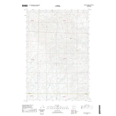
2020 Map of Sweigiler Creek
USGS Topo · Published 2020About this map
Grays River Divide dominates the central topography of this coastal mountain region, serving as a significant hydrologic break between the north-flowing and south-flowing waters of Pacific and Wahkiakum counties. The complex drainage systems shown here are defined by the Naselle River and its Little Fork Naselle River to the northwest, while the southern slopes are drained by the Grays River and its major tributaries, including the W Fork Grays River and Shannon Cr.
Find a feature on this map
37 named features on this map. Tap any name to fly to it.
Don’t see what you’re looking for? This feature index may not catch every label — zoom into the map to look around manually.
Map Details
Editions of this 2020 Sweigiler Creek Map
This is the sole edition of this map. No revisions or reprints were ever made.
Other maps of this area

1940 · Brookfield
USGS Topo · 1:62,500

1941 · Walville
USGS Topo · 1:62,500

1941 · Skamokawa
USGS Topo · 1:62,500

1949 · Upper Naselle River
USGS Topo · 1:24,000

1949 · Rosburg
USGS Topo · 1:24,000

1953 · Hoquiam
USGS Topo · 1:250,000

1953 · Skamokawa
USGS Topo · 1:62,500

1953 · Pe Ell
USGS Topo · 1:62,500

1955 · Grays River
USGS Topo · 1:62,500

1955 · Raymond
USGS Topo · 1:62,500