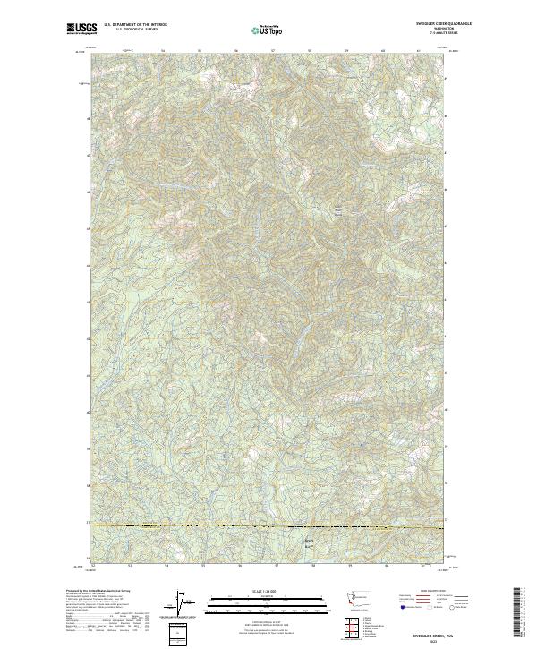
2023 Map of Sweigiler Creek
USGS Topo · Published 2023About this map
Grays River and its intricate drainage network define this timbered landscape along the boundary of Pacific and Wahkiakum counties. This modern topographic record illustrates a region dominated by steep ridges and deep drainages, where the Grays River Divide separates the namesake river from the Naselle River system to the north. Historically vital for logging, the terrain is woven with an extensive network of forestry access routes such as A Line Rd and D Line Rd, which trace the contours of the high ground between watersheds. Numerous tributaries, including Sweigiler Creek, Salmon Creek, and the Little East Fork Naselle River, carve through the valleys, reflecting the high-density hydrography of the Pacific Northwest. This 2023 edition documents the contemporary state of these vital watersheds, which remain central to the local environment and economy.
Find a feature on this map
35 named features on this map. Tap any name to fly to it.
Don’t see what you’re looking for? This feature index may not catch every label — zoom into the map to look around manually.
Map Details
Editions of this 2023 Sweigiler Creek Map
This is the sole edition of this map. No revisions or reprints were ever made.
Other maps of this area

1940 · Brookfield
USGS Topo · 1:62,500

1941 · Walville
USGS Topo · 1:62,500

1941 · Skamokawa
USGS Topo · 1:62,500

1949 · Upper Naselle River
USGS Topo · 1:24,000

1949 · Rosburg
USGS Topo · 1:24,000

1953 · Hoquiam
USGS Topo · 1:250,000

1953 · Skamokawa
USGS Topo · 1:62,500

1953 · Pe Ell
USGS Topo · 1:62,500

1955 · Grays River
USGS Topo · 1:62,500

1955 · Raymond
USGS Topo · 1:62,500