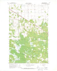
1967 Map of Swift
USGS Topo · Published 1969About this map
Swift and the surrounding timberland of the Beltrami Island State Forest dominate this Roseau County landscape in the late 1960s. The Canadian National rail line cuts diagonally across the northern section, passing through the small community of Swift and providing a critical transportation corridor through the wet, lowland terrain. This area is characterized by a managed water system, with large engineering projects like County Ditch No 20 and County Ditch No 26 draining the land toward the East Branch Warroad River.
Find a feature on this map
13 named features on this map. Tap any name to fly to it.
Don’t see what you’re looking for? This feature index may not catch every label — zoom into the map to look around manually.
Map Details
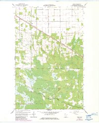
Editions of this 1967 Swift Map
2 editions found
Other maps of this area

1918 · Winterroad
USGS Topo · 1:62,500

1918 · Roosevelt
USGS Topo · 1:62,500

1918 · Warroad
USGS Topo · 1:62,500

1943 · Roosevelt
USGS Topo · 1:62,500

1943 · Warroad
USGS Topo · 1:62,500

1954 · Roseau
USGS Topo · 1:250,000

1957 · Roseau
USGS Topo · 1:250,000

1958 · Roseau
USGS Topo · 1:250,000

1967 · Roosevelt NW
USGS Topo · 1:24,000
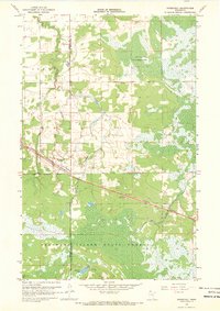
1967 · Roosevelt
USGS Topo · 1:24,000