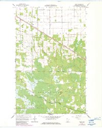
1967 Map of Swift
USGS Topo · Published 1984About this map
Swift sits along the Canadian National rail line in this northern Minnesota landscape, where the agricultural plots of Laona and Moranville townships meet the dense woods of the Beltrami Island State Forest. The transition from cleared fields to swampy forest land is distinct, marked by the Forest Boundary and a network of county ditches designed to manage the low-lying terrain. To the south, the East Branch Warroad River meanders through the forest, crossed by the Scifres Bridge. This 1967 survey, later updated in the early 1980s, captures the local infrastructure of the era, from the winding Tangnes Trail to the industrial presence of a Gravel Pit, providing a clear view of the region's land use before modern developments altered the rural character of Roseau County.
Find a feature on this map
11 named features on this map. Tap any name to fly to it.
Don’t see what you’re looking for? This feature index may not catch every label — zoom into the map to look around manually.
Map Details
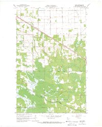
Editions of this 1967 Swift Map
2 editions found
Other maps of this area

1918 · Winterroad
USGS Topo · 1:62,500

1918 · Roosevelt
USGS Topo · 1:62,500

1918 · Warroad
USGS Topo · 1:62,500

1943 · Roosevelt
USGS Topo · 1:62,500

1943 · Warroad
USGS Topo · 1:62,500

1954 · Roseau
USGS Topo · 1:250,000

1957 · Roseau
USGS Topo · 1:250,000

1958 · Roseau
USGS Topo · 1:250,000

1967 · Roosevelt NW
USGS Topo · 1:24,000
1967 · Roosevelt
USGS Topo · 1:24,000