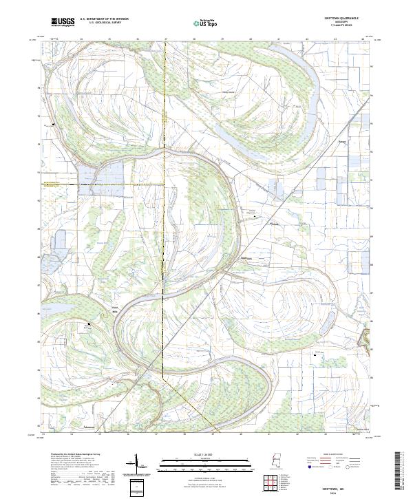
2024 Map of Swiftown
USGS Topo · Published 2024About this map
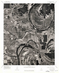
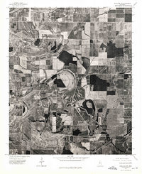
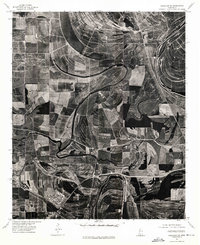
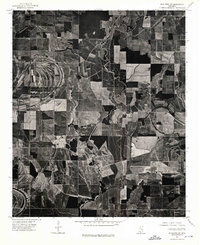
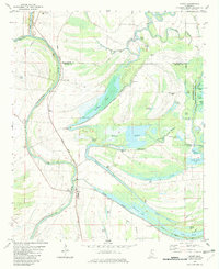
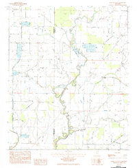
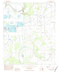
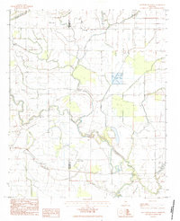
Bear Creek meanders through the alluvial landscape of the Mississippi Delta, defining a region where water and land are inextricably linked. The terrain is characterized by numerous brakes and swamps, such as Paxton Brake, Beaver Dam Brake, and Beckham Swamp, reflecting the low-lying nature of the Delta. Small settlements like Swiftown and Jaketown anchor the local road network, which includes colorfully named routes like Mother In Law Rd and Silent Shade Rd.
Find a feature on this map
60 named features on this map. Tap any name to fly to it.
Don’t see what you’re looking for? This feature index may not catch every label — zoom into the map to look around manually.
Map Details
Editions of this 2024 Swiftown Map
This is the sole edition of this map. No revisions or reprints were ever made.
Historical Maps of Mathews Crossing Through Time
19 maps found
1961 Mossy Lake
Leflore County, MS
1974 Greenwood NW
Leflore County, MS
1974 Greenwood SW
Leflore County, MS
1974 Schlater NE
Leflore County, MS
1974 Schlater NW
Leflore County, MS
1974 Schlater SE
Leflore County, MS
1974 Schlater SW
Leflore County, MS
1982 Money
Leflore County, MS
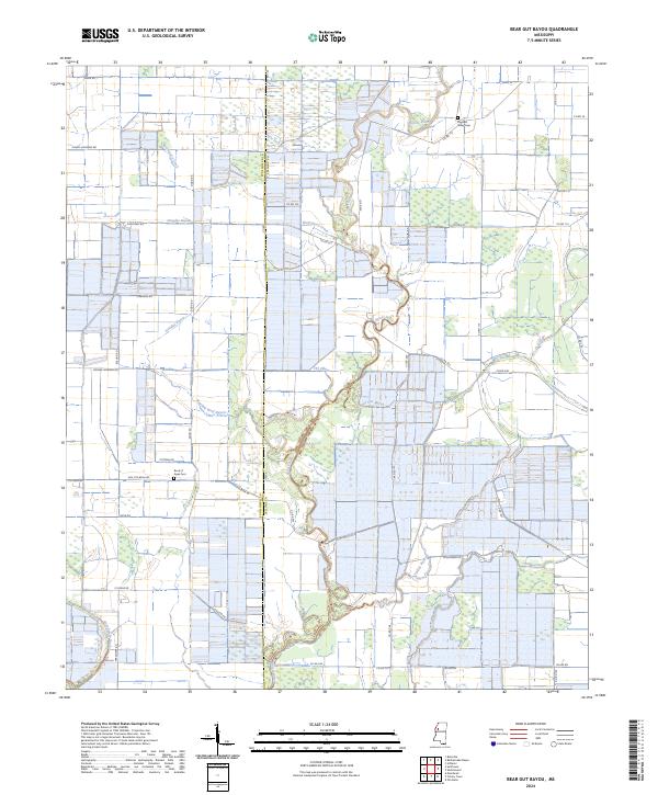
1983 Bear Gut Bayou
Leflore County, MS
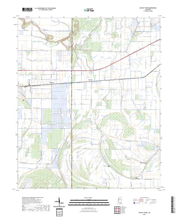
1983 Colony Town
Leflore County, MS
1983 Rattlesnake Bayou
Leflore County, MS
1983 Shellmound
Leflore County, MS
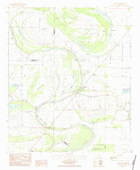
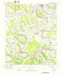
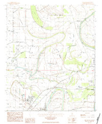
1983 Swiftown
Leflore County, MS
2024 Bear Gut Bayou
Leflore County, MS
2024 Colony Town
Leflore County, MS
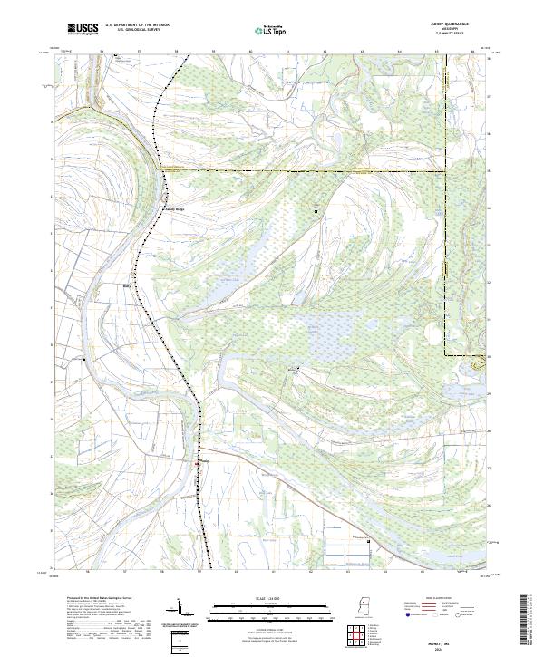
2024 Money
Leflore County, MS
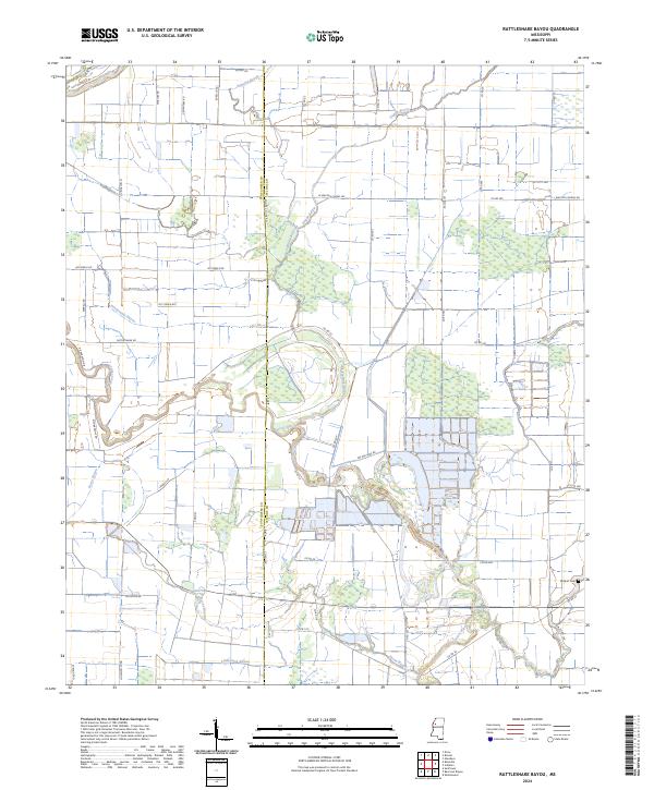
2024 Rattlesnake Bayou
Leflore County, MS
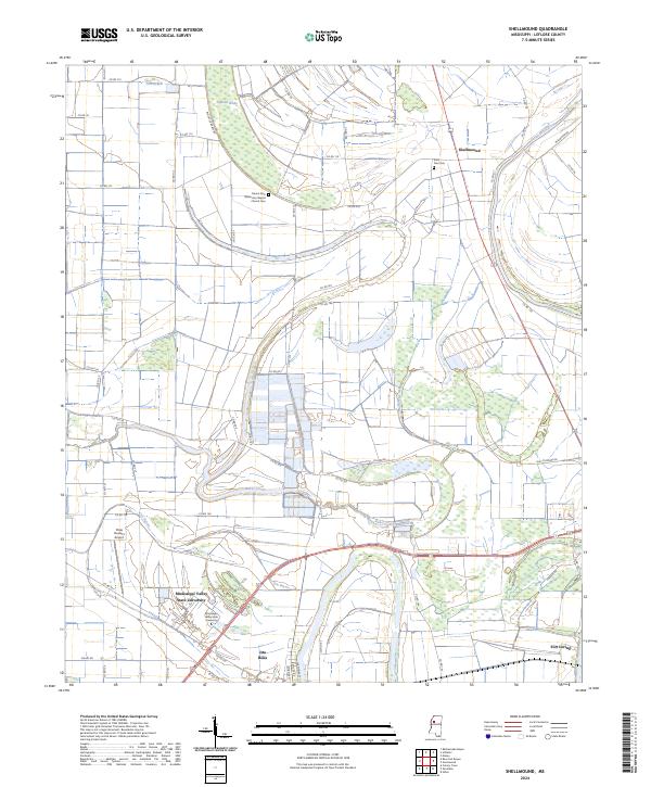
2024 Shellmound
Leflore County, MS
2024 Swiftown
Leflore County, MS