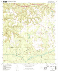
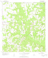
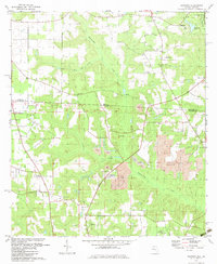
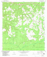
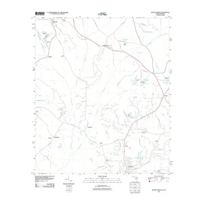
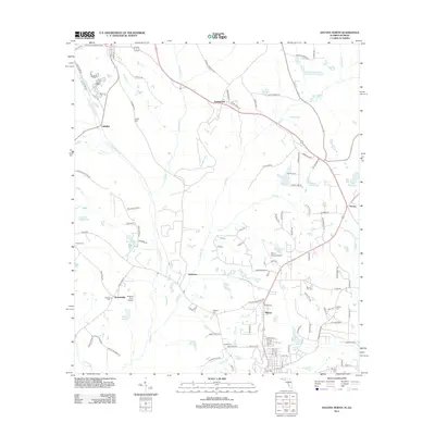
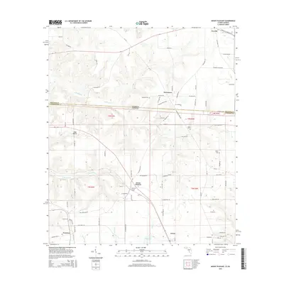
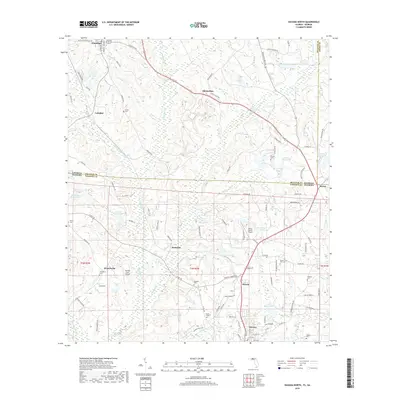
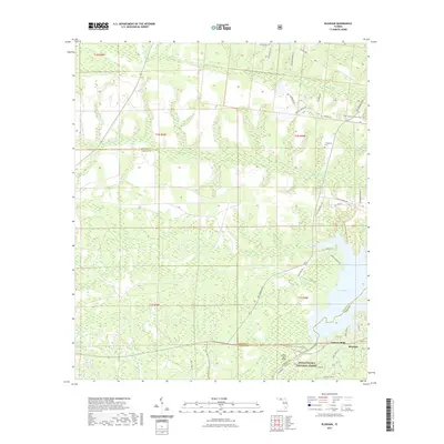
1994 Map of Sycamore
USGS Topo · Published 2002About this map
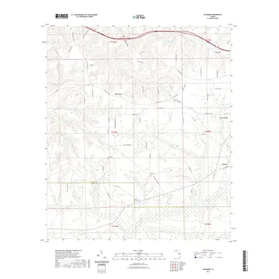
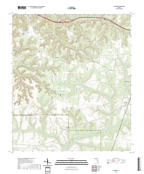
Sycamore serves as a central point in this rural landscape of Gadsden and Liberty Counties, where the terrain is deeply etched by a complex drainage network including Telogia Creek, Flat Creek, and Juniper Creek. The map documents a scattered community structure defined by historic congregational and family markers, such as Little Sycamore Ch and the Gause Cem. The presence of the Forbes Purchase Line and the extensive Robert Brent State Wildlife Management Area reflect long-standing patterns of land division and conservation in the Florida Panhandle.
Find a feature on this map
37 named features on this map. Tap any name to fly to it.
Don’t see what you’re looking for? This feature index may not catch every label — zoom into the map to look around manually.
Map Details
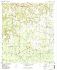
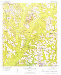
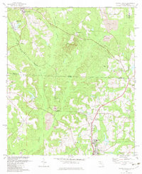
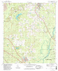
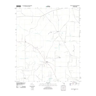
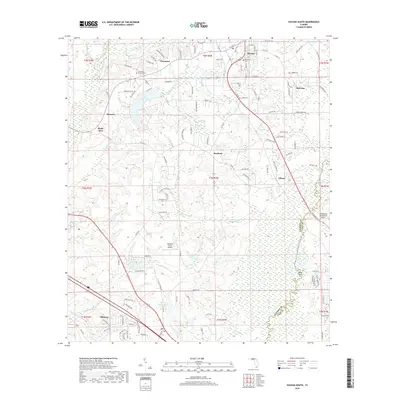
Editions of this 1994 Sycamore Map
2 editions found
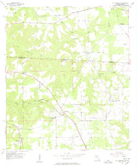
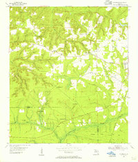
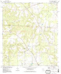
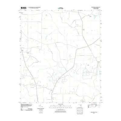
Historical Maps of Greensboro Through Time
47 maps found
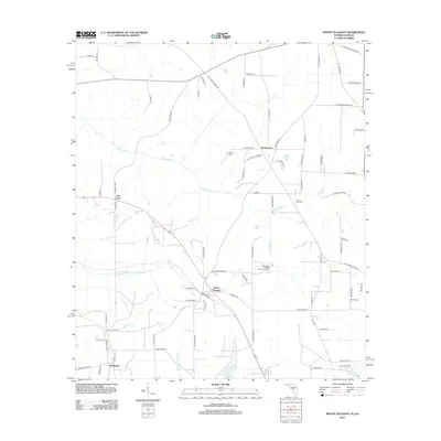
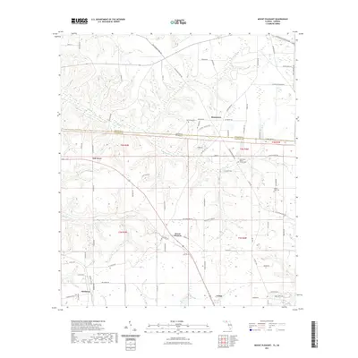
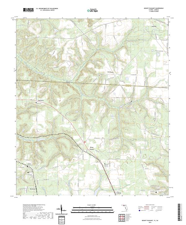
1955 Mt Pleasant
Gadsden County, FL
1955 Sycamore
Gadsden County, FL
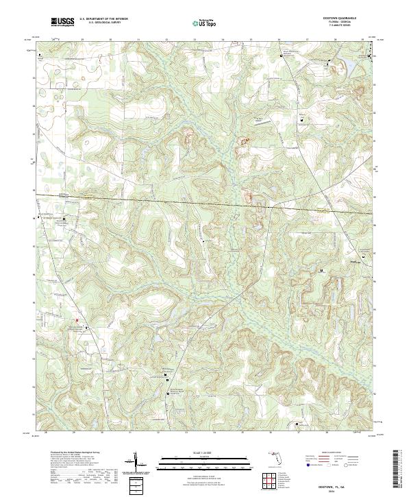
1956 Dogtown
Gadsden County, FL
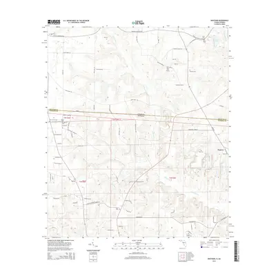
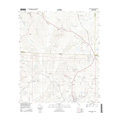
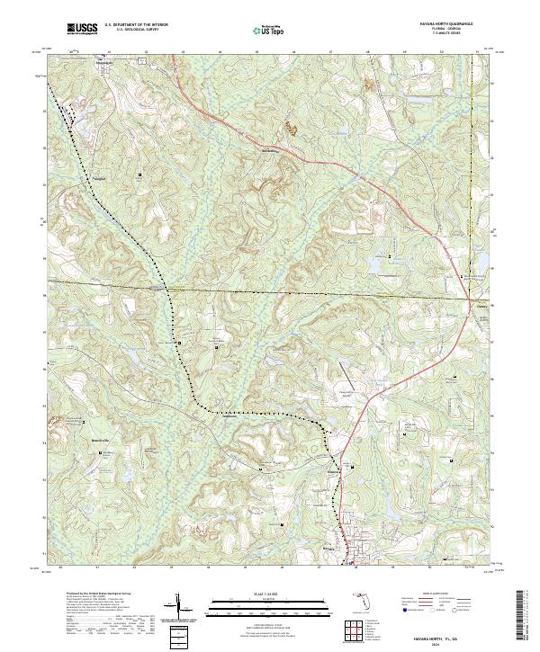
1956 Havana North
Gadsden County, FL
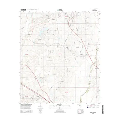
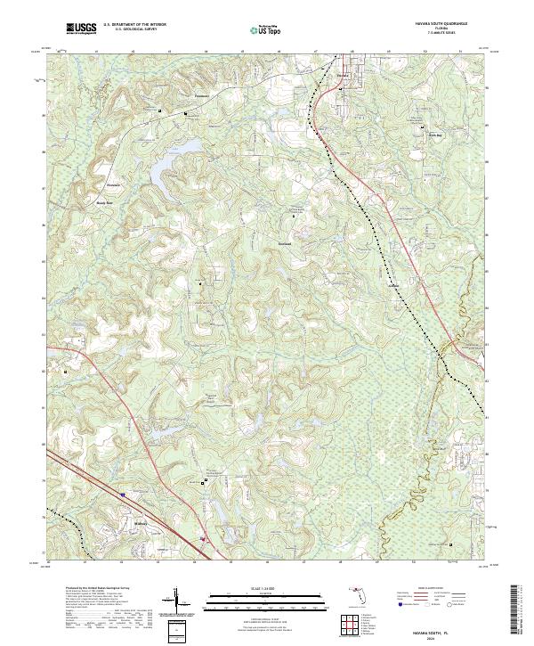
1963 Havana South
Gadsden County, FL
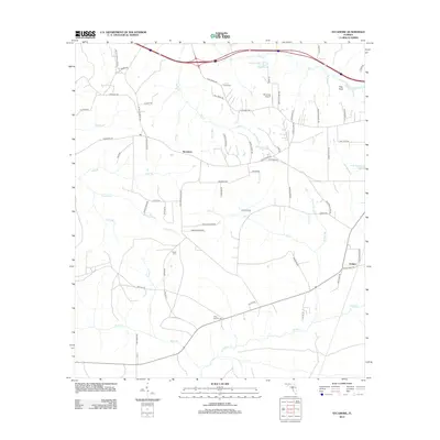
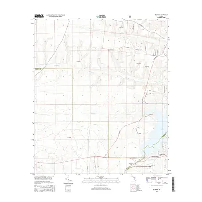
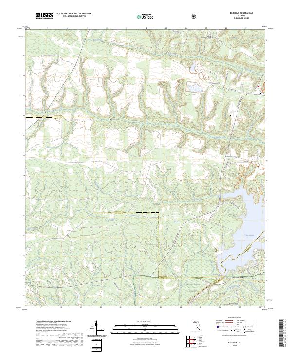
1972 Bloxham
Gadsden County, FL
1982 Dogtown
Gadsden County, FL
1982 Havana North
Gadsden County, FL
1982 Havana South
Gadsden County, FL
1982 Mt Pleasant
Gadsden County, FL
1982 Sycamore
Gadsden County, FL
1994 Havana South
Gadsden County, FL
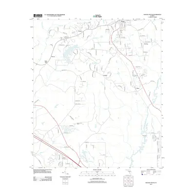
1994 Mt Pleasant
Gadsden County, FL
1994 Sycamore
Gadsden County, FL
2011 Dogtown
Gadsden County, FL
2011 Havana North
Gadsden County, FL
2011 Mount Pleasant
Gadsden County, FL
2012 Bloxham
Gadsden County, FL
2012 Dogtown
Gadsden County, FL
2012 Havana North
Gadsden County, FL
2012 Havana South
Gadsden County, FL
2012 Mount Pleasant
Gadsden County, FL
2012 Sycamore
Gadsden County, FL
2015 Bloxham
Gadsden County, FL
2015 Dogtown
Gadsden County, FL
2015 Havana North
Gadsden County, FL
2015 Havana South
Gadsden County, FL
2015 Mount Pleasant
Gadsden County, FL
2015 Sycamore
Gadsden County, FL
2018 Bloxham
Gadsden County, FL
2018 Dogtown
Gadsden County, FL
2018 Havana North
Gadsden County, FL
2018 Havana South
Gadsden County, FL
2018 Mount Pleasant
Gadsden County, FL
2018 Sycamore
Gadsden County, FL
2021 Bloxham
Gadsden County, FL
2021 Dogtown
Gadsden County, FL
2021 Havana North
Gadsden County, FL
2021 Havana South
Gadsden County, FL
2021 Mount Pleasant
Gadsden County, FL
2021 Sycamore
Gadsden County, FL
2024 Bloxham
Gadsden County, FL
2024 Dogtown
Gadsden County, FL
2024 Havana North
Gadsden County, FL
2024 Havana South
Gadsden County, FL
2024 Mount Pleasant
Gadsden County, FL
2024 Sycamore
Gadsden County, FL