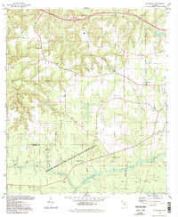
1994 Map of Sycamore
USGS Topo · Published 1998About this map
The crossroads community of Sycamore and the scattered rural homesteads of northwest Florida are preserved in this mid-1990s record. The landscape is defined by its numerous small congregational centers and family burial grounds, including Little Sycamore Ch, Bethel Ch, and the Smith Cem. In the southern portion of the sheet, the expansive Robert Brent State Wildlife Management Area covers a large section of the terrain, crossing the boundary from Gadsden into Liberty County.
Find a feature on this map
38 named features on this map. Tap any name to fly to it.
Don’t see what you’re looking for? This feature index may not catch every label — zoom into the map to look around manually.
Map Details
Editions of this 1994 Sycamore Map
2 editions found
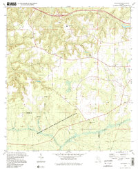
Other maps of this area

1943 · Lake Talquin
USGS Topo · 1:62,500

1945 · Hosford
USGS Topo · 1:31,680

1945 · Bristol
USGS Topo · 1:31,680

1954 · Sneads
USGS Topo · 1:24,000

1954 · Tallahassee
USGS Topo · 1:250,000

1955 · Rock Bluff
USGS Topo · 1:24,000

1955 · Sycamore
USGS Topo · 1:24,000

1955 · Chattahoochee
USGS Topo · 1:24,000

1955 · Mt Pleasant
USGS Topo · 1:24,000

1959 · Tallahassee
USGS Topo · 1:250,000