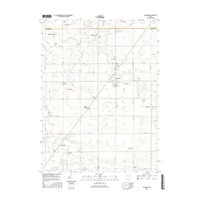
2016 Map of Sycamore
USGS Topo · Published 2016About this map
The Sandusky River winds through the northwestern reaches of Wyandot County, anchoring a landscape shaped by rural agriculture and the history of several small village settlements. Sycamore stands as the primary hub, with its grid of streets including S Sycamore Ave and W 7th St near Sycamore Creek. The map documents a high density of local heritage sites, particularly pioneer and family burial grounds such as Quaker Hill Cem, Bretz Farm Cem, and Bibler Cem. These small, scattered cemeteries reflect the settlement patterns of early farming families across Sycamore and Eden townships. To the south and west, smaller named localities like McCutchenville, Mexico, and Smithville sit amidst a network of county roads and drainage runs like Greasy Run and Negro Run, which feed into the larger river system.
Find a feature on this map
126 named features on this map. Tap any name to fly to it.
Don’t see what you’re looking for? This feature index may not catch every label — zoom into the map to look around manually.
Map Details
Editions of this 2016 Sycamore Map
This is the sole edition of this map. No revisions or reprints were ever made.
Other maps of this area

1901 · Fostoria
USGS Topo · 1:62,500

1903 · Fostoria
USGS Topo · 1:62,500

1906 · Sycamore
USGS Topo · 1:62,500

1906 · Tiffin
USGS Topo · 1:62,500

1907 · Upper Sandusky
USGS Topo · 1:62,500

1950 · Marion
USGS Topo · 1:250,000

1956 · Toledo
USGS Topo · 1:250,000

1960 · Sycamore
USGS Topo · 1:24,000

1960 · Tiffin South
USGS Topo · 1:24,000

1960 · Oceola
USGS Topo · 1:24,000