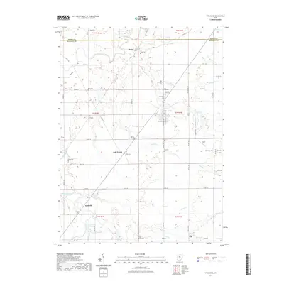
2019 Map of Sycamore
USGS Topo · Published 2019About this map
Sycamore serves as the central hub of this agricultural landscape at the border of Seneca and Wyandot counties. The town's grid, featuring S Sycamore Ave and W 7th St, is surrounded by several smaller hamlets like Belle Vernon, Mexico, and Deunquat. These communities are connected by a web of township and county roads that traverse a terrain defined by the winding Sandusky River and its various tributaries, including Sycamore Creek and Taylor Run.
Find a feature on this map
86 named features on this map. Tap any name to fly to it.
Don’t see what you’re looking for? This feature index may not catch every label — zoom into the map to look around manually.
Map Details
Editions of this 2019 Sycamore Map
This is the sole edition of this map. No revisions or reprints were ever made.
Other maps of this area

1901 · Fostoria
USGS Topo · 1:62,500

1903 · Fostoria
USGS Topo · 1:62,500

1906 · Sycamore
USGS Topo · 1:62,500

1906 · Tiffin
USGS Topo · 1:62,500

1907 · Upper Sandusky
USGS Topo · 1:62,500

1950 · Marion
USGS Topo · 1:250,000

1956 · Toledo
USGS Topo · 1:250,000

1960 · Sycamore
USGS Topo · 1:24,000

1960 · Tiffin South
USGS Topo · 1:24,000

1960 · Oceola
USGS Topo · 1:24,000