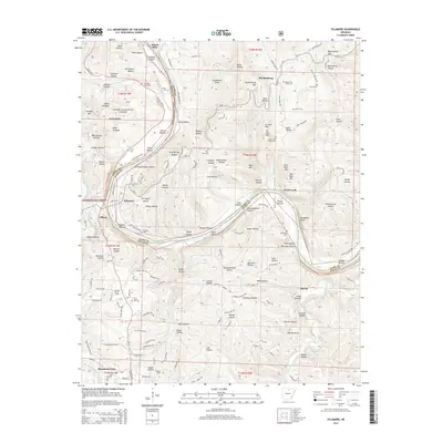
2014 Map of Sylamore
USGS Topo · Published 2014About this map
The White River winds through the border of Izard and Stone Counties, anchoring a landscape where river bottoms meet the steep ridges of the Ozark National Forest. This modern survey details the north end of Mountain View, where Sylamore Ave and Jimmy Driftwood Pky serve as local thoroughfares. The terrain is deeply etched by a network of hollows, including Canning Kitchen Hollow and Rattlesnake Hollow, which drop down toward the river's edge.
Find a feature on this map
135 named features on this map. Tap any name to fly to it.
Don’t see what you’re looking for? This feature index may not catch every label — zoom into the map to look around manually.
Map Details
Editions of this 2014 Sylamore Map
This is the sole edition of this map. No revisions or reprints were ever made.
Other maps of this area

1890 · Batesville
USGS Topo · 1:125,000

1890 · Mountain Home
USGS Topo · 1:125,000

1891 · Mountain Home
USGS Topo · 1:125,000

1891 · Batesville
USGS Topo · 1:125,000

1892 · Mountain View
USGS Topo · 1:125,000

1894 · Mountain View
USGS Topo · 1:125,000

1894 · Mountain Home
USGS Topo · 1:125,000

1945 · Harrison
USGS Topo · 1:250,000

1949 · Harrison
USGS Topo · 1:250,000

1951 · Melbourne
USGS Topo · 1:62,500