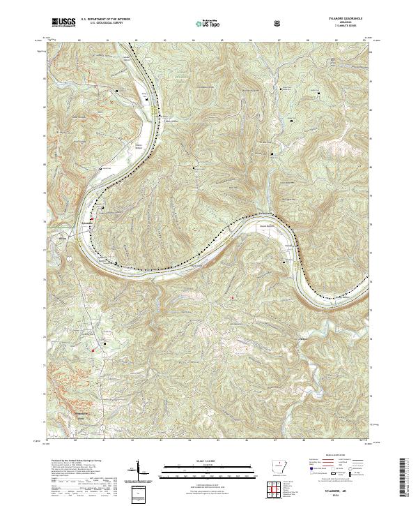
2024 Map of Sylamore
USGS Topo · Published 2024About this map
The White River carves a deep path through Stone County, Arkansas, defining the geography of this Ozark region. The northern edge of Mountain View is visible at the southern margin, while smaller settlements like Sylamore, Allison, and Herpel are scattered across the landscape. The river's influence is evident in the named bottomlands such as Harris Bottom and Sylamore Bottom, and the presence of Buck Island.
Find a feature on this map
148 named features on this map. Tap any name to fly to it.
Don’t see what you’re looking for? This feature index may not catch every label — zoom into the map to look around manually.
Map Details
Editions of this 2024 Sylamore Map
This is the sole edition of this map. No revisions or reprints were ever made.
Other maps of this area

1890 · Batesville
USGS Topo · 1:125,000

1890 · Mountain Home
USGS Topo · 1:125,000

1891 · Mountain Home
USGS Topo · 1:125,000

1891 · Batesville
USGS Topo · 1:125,000

1892 · Mountain View
USGS Topo · 1:125,000

1894 · Mountain View
USGS Topo · 1:125,000

1894 · Mountain Home
USGS Topo · 1:125,000

1945 · Harrison
USGS Topo · 1:250,000

1949 · Harrison
USGS Topo · 1:250,000

1951 · Melbourne
USGS Topo · 1:62,500