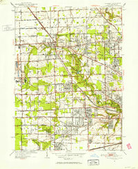
1951 Map of Sylvania
USGS Topo · Published 1952About this map
Sylvania serves as a focal point for this 1951 survey, situated along the New York Central Railroad just south of the Michigan-Ohio state line. The landscape is defined by an intricate network of drainage ditches such as Harroun Ditch and Smith Ditch, which support the agricultural and industrial transition of the area. Significant industrial sites like Medusa Quarry and France Quarry near the settlement of Silica highlight the region's extraction history. Local social and educational life is anchored by numerous institutions, including the St Francis Convent and a dense collection of rural schools like Maplewood Sch and Heidman Sch. The southern portion of the map shows the suburban expansion toward Ottawa Hills and Reynolds Corners, where leisure spaces like the Sylvania Country Club and the Inverness Golf Club begin to replace the open fields of Springfield township.
Find a feature on this map
85 named features on this map. Tap any name to fly to it.
Don’t see what you’re looking for? This feature index may not catch every label — zoom into the map to look around manually.
Map Details
Editions of this 1951 Sylvania Map
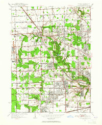
2 editions found
Other maps of this area

1900 · Toledo
USGS Topo · 1:62,500

1911 · Swanton
USGS Topo · 1:62,500

1912 · Dundee
USGS Topo · 1:62,500

1914 · Swanton
USGS Topo · 1:62,500

1926 · Dundee
USGS Topo · 1:62,500

1934 · Rossford
USGS Topo · 1:24,000

1935 · Whitehouse
USGS Topo · 1:24,000

1935 · Maumee
USGS Topo · 1:24,000

1935 · Berkey
USGS Topo · 1:24,000

1936 · Samaria
USGS Topo · 1:31,680