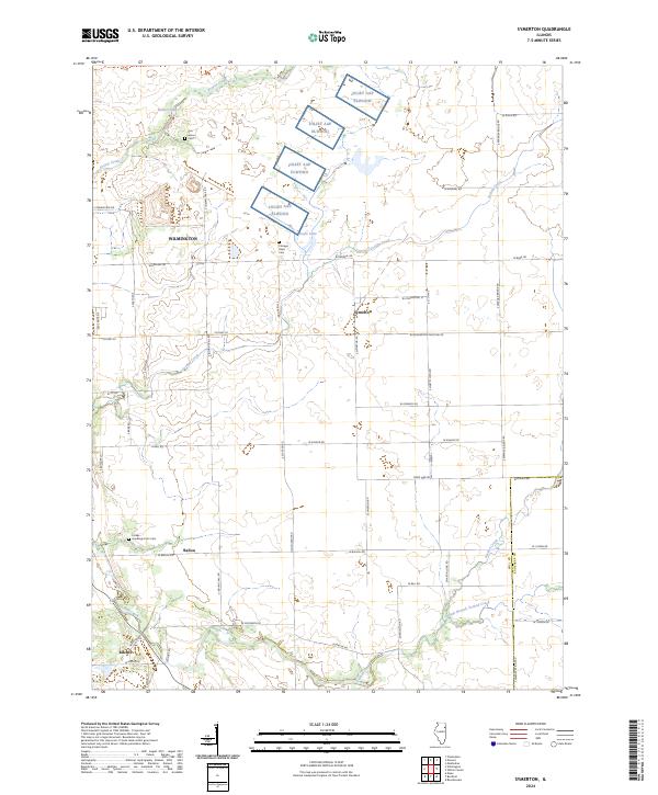
2024 Map of Symerton
USGS Topo · Published 2024About this map
The Symerton area of Will County is characterized by a transition from military installations to a grid of agricultural land and small communities. This survey documents the sprawling footprint of the Joliet AAP Elwood in the northern portion of the quadrangle, a significant feature that historically shaped the regional economy. South of the arsenal grounds, the landscape settles into a pattern of rural intersections and watercourses, including the winding Jordan Creek and Forked Creek.
Find a feature on this map
50 named features on this map. Tap any name to fly to it.
Don’t see what you’re looking for? This feature index may not catch every label — zoom into the map to look around manually.
Map Details
Editions of this 2024 Symerton Map
This is the sole edition of this map. No revisions or reprints were ever made.
Other maps of this area
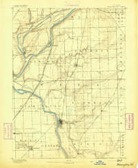
1892 · Wilmington
USGS Topo · 1:62,500
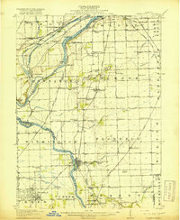
1918 · Wilmington
USGS Topo · 1:62,500
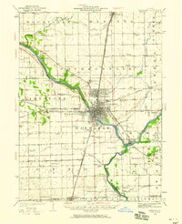
1922 · Kankakee
USGS Topo · 1:62,500
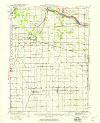
1923 · Herscher
USGS Topo · 1:62,500
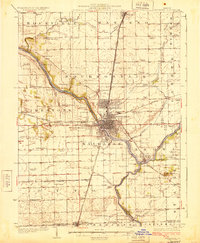
1924 · Kankakee
USGS Topo · 1:62,500
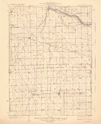
1925 · Herscher
USGS Topo · 1:62,500
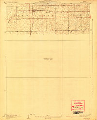
1929 · Brisbane
USGS Topo · 1:24,000
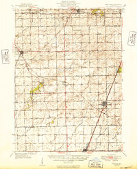
1949 · Peotone
USGS Topo · 1:62,500
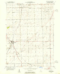
1953 · Manhattan
USGS Topo · 1:24,000
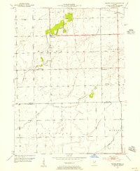
1953 · Wilton Center
USGS Topo · 1:24,000