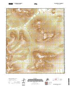
2018 Map of Table Mountain A-1 SE
USGS Topo · Published 2018About this map
The international boundary of the United States of America defines the eastern edge of this 2018 survey, where the Yukon-Koyukuk Census Area meets the Yukon Territory. This high-latitude landscape is defined by the rigid grid of the Public Land Survey System, spanning townships from T15s R47e south to T17s R48e. The map serves as a primary topographic record of a region devoid of named settlements or roads, focusing instead on the complex drainage patterns and elevation changes of the Alaskan interior. While the map is a contemporary digital production, it utilizes historical survey data from the BLM and National Hydrography Dataset to detail the intricate creek systems and ridges that characterize this part of the Table Mountain quadrangle.
Find a feature on this map
7 named features on this map. Tap any name to fly to it.
Don’t see what you’re looking for? This feature index may not catch every label — zoom into the map to look around manually.
Map Details
Editions of this 2018 Table Mountain A-1 SE Map
This is the sole edition of this map. No revisions or reprints were ever made.
Other maps of this area

1951 · Coleen
USGS Topo · 1:250,000

1951 · Table Mountain
USGS Topo · 1:250,000

1956 · Table Mountain
USGS Topo · 1:250,000

1956 · Coleen
USGS Topo · 1:250,000

1964 · Table Mountain
USGS Topo · 1:250,000
1972 · Table Mountain A-1
USGS Topo · 1:63,360
1972 · Coleen D-1
USGS Topo · 1:63,360
2018 · Coleen D-1 NE
USGS Topo · 1:25,000
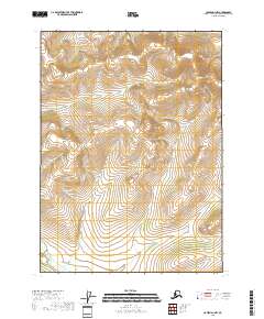
2018 · Coleen D-1 NW
USGS Topo · 1:25,000
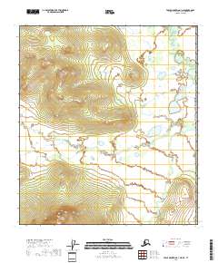
2018 · Table Mountain A-1 NE
USGS Topo · 1:25,000