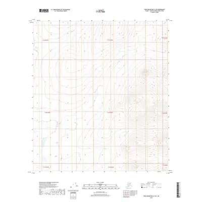
2018 Map of Table Mountain A-2 SE
USGS Topo · Published 2018About this map
The interior of the Yukon-Koyukuk Census Area is defined here by the systematic grid of the Public Land Survey System, which provides the primary structural framework for this 2018 survey. The landscape across T15s R45e, T16s R45e, and T16s R44e is characterized by extreme topographic variation, with high ridges and steep drainage basins typical of the Table Mountain region. This map serves as a technical record of a wilderness area largely devoid of named settlements or man-made infrastructure, focusing instead on the hydrography and elevation contours. The lack of named geographical features suggests a territory where traditional land use and environmental monitoring take precedence over permanent development, offering a precise view of the terrain within T16s R46e and T15s R44e as it was managed in the early twenty-first century.
Find a feature on this map
9 named features on this map. Tap any name to fly to it.
Don’t see what you’re looking for? This feature index may not catch every label — zoom into the map to look around manually.
Map Details
Editions of this 2018 Table Mountain A-2 SE Map
This is the sole edition of this map. No revisions or reprints were ever made.
Other maps of this area

1951 · Coleen
USGS Topo · 1:250,000

1951 · Table Mountain
USGS Topo · 1:250,000

1956 · Table Mountain
USGS Topo · 1:250,000

1956 · Coleen
USGS Topo · 1:250,000

1964 · Table Mountain
USGS Topo · 1:250,000
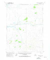
1972 · Coleen D-2
USGS Topo · 1:63,360
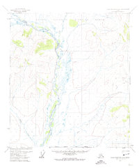
1972 · Table Mountain A-2
USGS Topo · 1:63,360
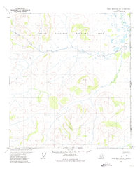
1972 · Table Mountain A-1
USGS Topo · 1:63,360
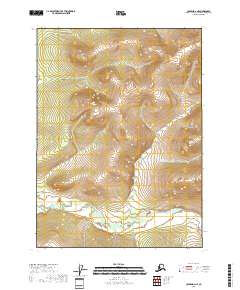
2018 · Coleen D-2 NE
USGS Topo · 1:25,000
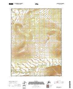
2018 · Coleen D-2 NW
USGS Topo · 1:25,000