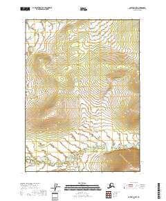
2018 Map of Coleen D-2 NW
USGS Topo · Published 2018About this map
Strangle Woman Creek meanders through this portion of the Yukon-Koyukuk Census Area in northern Alaska, creating a complex network of oxbows and wetlands across the southern landscape. The terrain is defined by low-lying drainage basins in the south that transition into more elevated, undulating landforms toward the north. This U.S. Geological Survey representation emphasizes the hydrography of Strangle Woman Cr as it flows through the survey townships of t35n r26e and t35n r25e. The absence of established roads or structures indicates a landscape shaped almost entirely by natural water cycles and geological processes, offering a clear record of the area's physical geography before any significant human development occurred.
Find a feature on this map
8 named features on this map. Tap any name to fly to it.
Don’t see what you’re looking for? This feature index may not catch every label — zoom into the map to look around manually.
Map Details
Editions of this 2018 Coleen D-2 NW Map
This is the sole edition of this map. No revisions or reprints were ever made.
Other maps of this area

1951 · Coleen
USGS Topo · 1:250,000

1951 · Table Mountain
USGS Topo · 1:250,000

1956 · Table Mountain
USGS Topo · 1:250,000

1956 · Coleen
USGS Topo · 1:250,000

1964 · Table Mountain
USGS Topo · 1:250,000
1972 · Coleen D-2
USGS Topo · 1:63,360
1972 · Table Mountain A-2
USGS Topo · 1:63,360
1972 · Coleen D-3
USGS Topo · 1:63,360
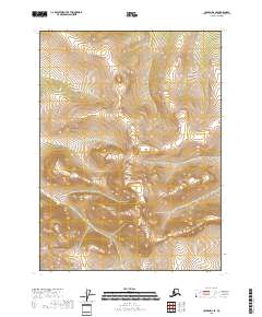
2018 · Coleen D-2 SE
USGS Topo · 1:25,000
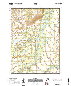
2018 · Coleen D-3 NE
USGS Topo · 1:25,000