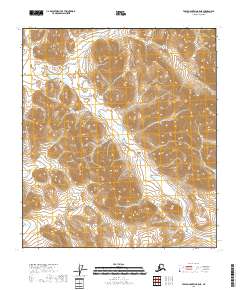
2018 Map of Table Mountain B-5 NE
USGS Topo · Published 2018About this map
The Yukon-Koyukuk Census Area defines the vast, uninhabited terrain shown in this 2018 survey. Dominated by high-elevation landforms, the map highlights the intricate contour work of the T11s R36e and T11s R37e townships. In this section of Alaska, the landscape is defined by its topographical complexity rather than human infrastructure, as the map reveals an absence of named settlements, roads, or developed structures. The survey serves as a precise record of the natural drainage patterns and ridgelines that cross through T12s R36e and T12s R37e, offering a detailed look at the physical geography of the Brooks Range interior. This document is a foundational resource for understanding the remote wilderness of the region during the early twenty-first century.
Find a feature on this map
5 named features on this map. Tap any name to fly to it.
Don’t see what you’re looking for? This feature index may not catch every label — zoom into the map to look around manually.
Map Details
Editions of this 2018 Table Mountain B-5 NE Map
This is the sole edition of this map. No revisions or reprints were ever made.
Other maps of this area

1951 · Table Mountain
USGS Topo · 1:250,000

1956 · Table Mountain
USGS Topo · 1:250,000

1964 · Table Mountain
USGS Topo · 1:250,000
1972 · Table Mountain B-4
USGS Topo · 1:63,360
1972 · Table Mountain B-5
USGS Topo · 1:63,360
1983 · Table Mountain C-5
USGS Topo · 1:63,360
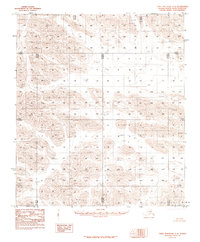
1983 · Table Mountain C-4
USGS Topo · 1:63,360
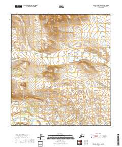
2018 · Table Mountain B-4 SW
USGS Topo · 1:25,000
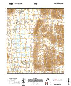
2018 · Table Mountain B-5 NW
USGS Topo · 1:25,000
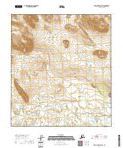
2018 · Table Mountain B-5 SE
USGS Topo · 1:25,000