
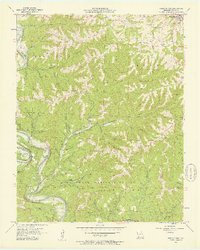
1956 Map of Table Rock Dam
USGS Topo · Published 1957About this map
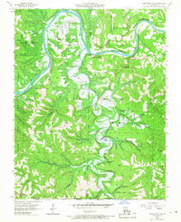
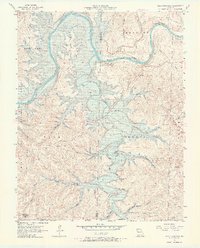
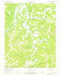
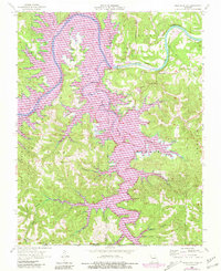
Table Rock Dam stands as a massive focal point of this 1950s survey, capturing the landscape just before its permanent transformation by the White River's impoundment. The map identifies specific areas to be submerged by the coming reservoir, including the riverfront near Table Rock and the bottomlands along Long Creek. Further south, the settlement of Oasis sits near the Oasis Bluff, a community that would eventually be impacted by the rising waters. The terrain is marked by ridges and hollows, such as Compton Ridge and Maple Hollow, which define the rugged character of the Mark Twain National Forest. Local infrastructure and genealogy are well-documented through scattered country churches like Cedar Valley Ch and Bowman Ch, alongside family burial grounds including Snowden Cem and Goodall Cem. This record provides a clear look at the valley's established rural life before the reservoir's completion.
Find a feature on this map
53 named features on this map. Tap any name to fly to it.
Don’t see what you’re looking for? This feature index may not catch every label — zoom into the map to look around manually.
Map Details
Editions of this 1956 Table Rock Dam Map
5 editions found
Other maps of this area

1904 · Harrison
USGS Topo · 1:125,000

1905 · Harrison
USGS Topo · 1:125,000

1907 · Forsyth
USGS Topo · 1:125,000

1945 · Harrison
USGS Topo · 1:250,000

1949 · Harrison
USGS Topo · 1:250,000

1950 · Garber
USGS Topo · 1:24,000

1954 · Harrison
USGS Topo · 1:250,000

1956 · Lampe
USGS Topo · 1:24,000

1956 · Garber
USGS Topo · 1:24,000
1956 · Reeds Spring
USGS Topo · 1:24,000